
What is recorded here
A child at the Church in Maddockstown could have been given the grand duty of keeping his little brother quiet during a prayer. He spent so long whispering instructions that the younger boy became the quieter of the two.
On a W-facing slope with limited views due to trees and rise in ground level. Centrally placed within a raised, roughly triangular graveyard (KK020-045002-). The church is indicated on the Down Survey (1655-6) barony map of Gowran in ‘Madackstowne’ townland (Hibernia Regnum, courtesy of Trinity College Dublin). It is also indicated on the Down Survey parish map of Blackrath and St Martins and the accompanying terrier describes, ‘on Maddockstowne…the walls of a Church’ and lists ‘S[i]r Edm[on]d Blanchfield’ as the proprietor in 1640 (NLI MS720). According to Carrigan (1905, vol. 3, 366) the church was dedicated to, The Blessed Virgin, under the title of her Nativity (Sept. 8)’ and was the prebendal church of Blackrath, now known as Maddockstown. An undivided rectangular church (int. dims. 10.5m E-W x 4.25m N-S) constructed of sandstone with some limestone and shale also in evidence. It has a partial external base-batter. Present remains comprise the W gable, S wall with external buttress at W end, N wall and ruinous E gable, with collapsed masonry in the interior. The church was entered through a doorway, now marked by breach (Wth 2m), at the W end of the S wall. An arch stone fragment located at NE end of the graveyard was probably part of the doorway surround. Only one window survives, a single-light flat-headed window (int. dims. 1m x 0.4m) with glazing-bar holes in E end of S wall. There are traces of a window embrasure in the W gable, described by Carrigan (ibid.) as, ‘a tall, very narrow, damaged window, with a very narrow splay, high up in the west gable’. An associated Ossory-type font (KK020-045003-) is currently located at the NE end of the graveyard. See attached:
KK020-045001-_01 extract from Down Survey (1655-6) barony map of Gowran (Hib. Reg., courtesy of Trinity College Dublin
KK020-045001-_02 Google Earth image
Compiled by: Jean Farrelly
Date of upload: 9 December 2020
On a W-facing slope with limited views due to trees and rise in ground level. Centrally placed within a raised, roughly triangular graveyard (KK020-045002-). The church is indicated on the Down Survey (1655-6) barony map of Gowran in ‘Madackstowne’ townland (Hibernia Regnum, courtesy of Trinity College Dublin). It is also indicated on the Down Survey parish map of Blackrath and St Martins and the accompanying…
From the National Monuments Service (Archaeological Survey of Ireland) record KK020-045001
The monument record does not grant public access. Check the route and ask the landowner before entering private land.
- What survives
- Recorded monument
Places near here
 Grave YardGraveyard · 6 yd
 Architectural fragment in MaddockstownArchitectural fragment · 12 yd
 Prims CottageMiller's house · 131 yd
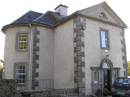 MillmountHouse · 226 yd
 Saint Molagga's WellSpring · 1.5 mi
 Hawthorn3.1 mi
 Clara CastleCastle, tower house · 3.1 mi
 IndicatedBawn · 3.1 miHawthorn3.4 mi
 St. Mogarra’s WellSpring · 3.4 mi
 Tullaherin Church and Round TowerVisitor information · 4.6 mi
 Burnchurch CastleVisitor information · 5.8 mi
Pictures: A.-K. D., Wikimedia Commons · CC BY-SA 4.0; A.-K. D., Wikimedia Commons · CC BY 4.0; National Inventory of Architectural Heritage; Didier Descouens, Wikimedia Commons · CC BY-SA 4.0; liam murphy, Wikimedia Commons · CC BY-SA 2.0; Mike Searle, Geograph · CC BY-SA 2.0; Humphrey Bolton, Geograph · CC BY-SA 2.0; P L Chadwick, Geograph · CC BY-SA 2.0
More historic places in County Kilkenny · All of County Kilkenny
What do you know about this place?