
What is recorded here
In tillage. Identified on an aerial photograph (GB89.Q.29, 13 July 1989) as a cropmark of a circular enclosure (diam. c. 35m). Another enclosure (KK019-141-----) lies c. 300m to the ENE. The cropmarks of an adjacent field system (KK019-119----), aligned E-W and N-S, which may or may not be associated.
Compiled by: Dr. Gillian Barrett for the Archaeological Survey of Ireland and Jean Farrelly
Date of revised upload: 21 October 2020
The monument record does not grant public access. Check the route and ask the landowner before entering private land.
- What survives
- Recorded monument
Places near here
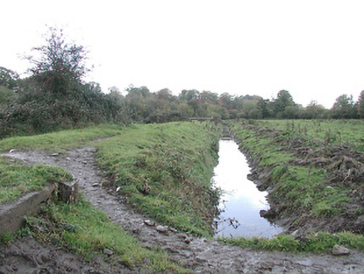 canal (section of)canal (section of) · 1035 yd
 Enclosure in OutrathEnclosure · 1101 yd
 Danville Housefarm house · 1159 yd
 Enclosure in ArchersgroveEnclosure · 1381 yd
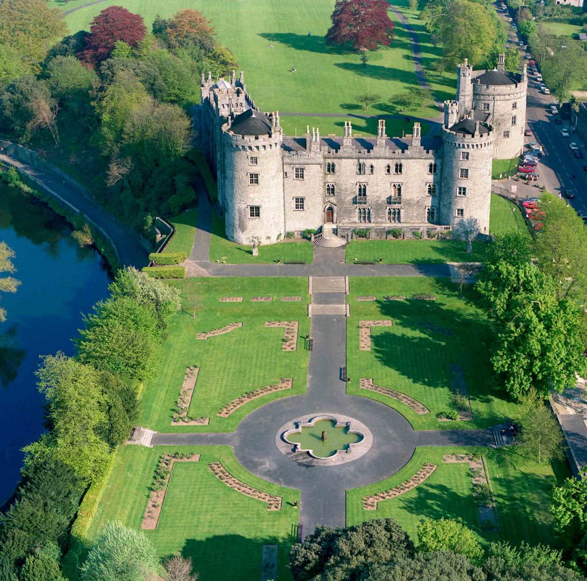 Site of Lavistown CastleCastle, unclassified · 1.1 mi
 Ivan PowerMemorial · 1.1 mi
 Michael CarthyMemorial · 1.2 mi
 WelcomeVisitor information · 1.8 mi
 HedgerowVisitor information · 1.8 mi
 Grace's Old CastleCastle · 2.2 mi
 Smithwick's Brewery ExperienceHeritage attraction · 2.2 mi
 Dunbell Big RingfortWood · 2.2 mi
Other information
Photo: Credit not shown in the picture search · Rights wording not checked; contact us if this picture should be removed