
What is recorded here
In tillage. Within Archersgrove demesne, c. 120m of Archersgrove House (KK019-080001-). An aerial photograph (GB89.Q.28, 13 July 1989) shows a cropmark of a large, incomplete curvilinear enclosure (diam. c. 50m) defined by two widely spaced, concentric fosses.
Compiled by: Dr. Gillian Barrett for the Archaeological Survey of Ireland and Jean Farrelly
Date of revised upload: 20 October 2020
A local fairy fort (ringfort/rath); wider significance not recorded.
The monument record does not grant public access. Check the route and ask the landowner before entering private land.
- What survives
- Recorded monument
Places near here
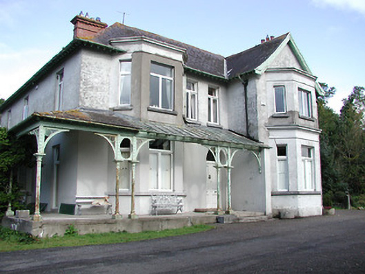 Archersgrove Househouse · 197 yd
 Danville Housefarm house · 363 yd
 Ivan PowerMemorial · 712 yd
 Michael CarthyMemorial · 771 yd
 Saint Molagga's WellSpring · 1083 yd
 IndicatedEnclosure · 1266 yd
 Loughboy Ringfort (rath)Archaeological place · 1274 yd
 CastleCastle, unclassified · 1689 yd
 Kilkenny City ToursHeritage attraction · 1.1 mi
 Kilkenny County Council Car ParkVisitor information · 1.1 mi
 Kilkenny Castle ParkVisitor information · 1.1 mi
 Geraldine Walsh ArtGallery · 1.1 mi
Other information
Photo: Credit not shown in the picture search · Rights wording not checked; contact us if this picture should be removed