What is recorded here
Situated on a rise in a fairly level landscape, and just NW of the church (ME038-017----) of Trevet on the W side of a N-S public road. This field was known as the Schoolhouse Field, and there was a folk memory of village around Trevet church (IFC, Schools Collection, vol. 0687, 296). An area of about four hectares (c. 10 acres) in pasture and confined within one modern field has relict field banks and scarps as well as drains (Wth c. 2m; D c. 0.2-0.5m). They create fields (dims c. 30-100m N-S; c. 100m E-W) originating in a curving hollow way (at S: Wth of top 15.5m; D 1.4-1.6m) extending N from the graveyard. A small rectangular enclosure (ME038-016----) is just SW of the hollow way close to the graveyard.
See the attached enhanced aerial view from Google Earth (23/09/2013
The above description is derived from the published 'Archaeological Inventory of County Meath' (Dublin: Stationery Office, 1987). In certain instances the entries have been revised and updated in the light of recent research.
Compiled by: Michael Moore
Date of upload: 10 July 2007
Amended: 13 April, 2022
The monument record does not grant public access. Check the route and ask the landowner before entering private land.
- What survives
- Recorded monument
Places near here
 Enclosure in TrevetEnclosure · 92 yd
 Enclosure in GarretstownEnclosure · 1243 yd
 mill (water)mill (water) · 1.8 mi
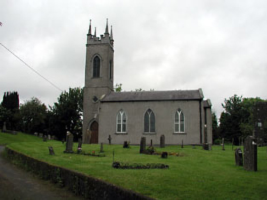 Saint Seachnall's Church (Dunshaughlin)church/chapel · 1.9 mi
 Killeen CastleCastle, tower house · 2.3 mi
 Clusker Wood SouthWood · 2.3 mi
 The Pond WoodWood · 2.3 mi
 CastleCastle, motte · 2.9 mi
 Candle HillMountain / peak · 3.1 mi
 Emerald ParkHeritage attraction · 3.3 mi
 Battle of Tara Hillbattle · 3.8 mi
 Battle of Tara (Ireland)Major battlefield · 3.8 mi