
What is recorded here
At the W tip of the droveway there are some ditches running off to the SW (respecting the potential bank on the S side of the S droveway ditch) that probably form a field of similar 'triangular' shape to the annex (visible 20m x 15m) inside LMA. These 'triangular fields or annexes are probably animal pens / corrals.…
Read the whole record
From the National Monuments Service (Archaeological Survey of Ireland) record TN021-107001
Places near here
Photo credits
- Maker not stated on source page, commons.wikimedia.org
- National Inventory of Architectural Heritage
- Maker not stated on source page, www.pinterest.com
- Maker not stated on source page, en.wikipedia.org
- Maker not stated on source page, www.tripadvisor.ca
- Kmcnamee, Wikimedia Commons · CC BY-SA 4.0
 Church in LissaniskyChurch · 530 yd
Explorer Tom Church in Lissanisky is playing hard to get, hiding somewhere near the house with a fake royal visit nobody can…
 rectory/glebe/vicarage/curate's house563 yd
Explorer Tom Rectory in Killeisk has a secret it would tell after three pints, probably about who actually built that fancy…
 Ballinree CemeteryCemetery · 897 yd
Explorer Tom Ballinree Cemetery was built on a bargain where someone traded their first-born child for a really good view. The…
 Lissanisky HouseCountry house · 916 yd
Explorer Tom Lissanisky House is feuding with its next-door neighbour over whose chimney smoke smells worse. It’s showing off those…
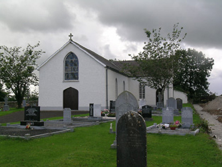 Saint Joseph's Catholic ChurchChurch/chapel · 992 yd
Explorer Tom Saint Joseph's Catholic Church in Ballinree is having a fairy dispute over who gets to park in front of the graveyard.…
 Church in BallymackeyChurch · 1057 yd
Explorer Tom Church in Ballymackey is unlocated, which means the Vikings probably wandered past it looking for something else…
 Ballymackey Castle (in ruins)Castle, tower house · 1182 yd
Explorer Tom Ballymackey Castle sits in the middle of a pig farm, which is exactly where I’d put my fortress if I valued comfort…
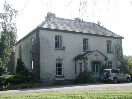 Shanbally HouseHouse · 1360 yd
Explorer Tom Shanbally House has a roofline that looks like someone stacked all the chimney pots they could find just to show off…
 Ballymackey Church (site of)Church · 1567 yd
Explorer Tom Ballymackey Church is clinging to life with ivy like it’s trying to keep a secret from the 1800s church next door. Two…
 Fairy fort / earthen ringfort in CloonmoreFairy fort / earthen ringfort · 1689 yd
Explorer Tom Fairy fort / earthen ringfort in Cloonmore smells like wet nettles and old stone because I walked through the overgrown…
 Cappa Castle (in ruins)Castle, tower house · 1.5 mi
Explorer Tom Cappa Castle is where a local poet fell into the ditch and wrote a sonnet that nobody wanted to read anyway. The walls…
 St. Michael's Park, ToomevaraGAA ground · 2.0 mi
More archaeology and monuments in County Tipperary · All of County Tipperary

What do you know about this place?Tap to add a comment or ask a question