What is recorded here
In rough hill pasture, on the lower W-facing slopes of Knockowen. The remains of a curvilinear stone wall (T 0.7m; H 0.8m), which protrude above the surface of the bog (D 0.2-0.3m), extend to the NE from a standing stone (KE109-014004-) for c. 50m and then curve to the E for c. 55m. From this point a wall branches off to the NE for c. 52m while the main wall continues to the E for a distance of c. 54m. Rubble from the collapsed upper courses is scattered in the bog beside the wall.
The above description is derived from the published 'Archaeological Inventory of County Kerry. Volume I: South-West Kerry' (Dublin: Stationery Office, 2009). In certain instances the entries have been revised and updated in the light of recent research.
Date of upload: 30 May 2011
The monument record does not grant public access. Check the route and ask the landowner before entering private land.
- What survives
- Recorded monument
Places near here
 Elistragh Br.Bridge · 357 yd
 Burnt spread in ClogheraneBurnt spread · 452 yd
 Clogherane Br.Bridge · 554 yd
 KnockastumpaMountain / peak · 730 yd
 IndicatedFairy fort / stone ringfort · 911 yd
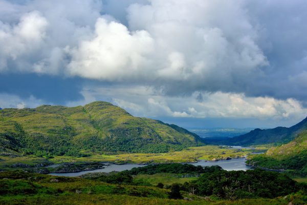 StokeennalackarehaMountain / peak · 991 yd
 Duck RockIslet · 1595 yd
 IllaunateeIslet · 1641 yd
 New Zealand broadleafNew Zealand broadleaf · 2.1 mi
 Japanese cedarJapanese cedar · 2.1 mi
 DroppaCliff · 3.0 mi
 Mare's Tail WaterfallViewpoint · 3.6 mi