What is recorded here
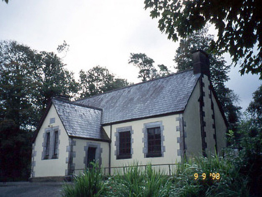
Lauragh National School in Lauragh Lower got its extra room in 1998, having opened in 1862. A hundred and thirty-six years to get an extension: let any teacher here complain about late homework.
Detached five-bay single-storey schoolhouse, dated 1862, with single-bay single-storey gabled projecting porch to centre. Extension to rear to south-east, built 1998. Pitched slate roof with clay ridge tiles and rendered chimneystack having ashlar quoins below roofline. Painted rendered walls with exposed ashlar quoins and limestone carved name and date plaque. Limestone ashar lintels, sills and reveals to replacement timber windows. Limestone door surrounds with chamfered reveals to replacement timber boarded doors, approached by limestone steps. Rubble stone retaining wall to road.
From the Buildings of Ireland (National Inventory of Architectural Heritage) record 21310801
This does not grant access. Most recorded buildings are privately owned; view them only from public ground unless the owner allows entry.
Places near here
Photo credits
- National Inventory of Architectural Heritage
- Mike Dickison, Wikimedia Commons · CC BY 4.0
- Yosemite, Wikimedia Commons · CC BY-SA 3.0
- Trevor Harris, Geograph · CC BY-SA 2.0
- Richard Webb, Wikimedia Commons · CC BY-SA 2.0
- Michael Dibb, Geograph · Creative Commons Attribution-ShareAlike 2.0
- David Purchase, Geograph · CC BY-SA 2.0
- Gordon Hatton, Geograph · CC BY-SA 2.0
- Espresso Addict, Wikimedia Commons · CC BY-SA 2.0
- Marathon, Geograph · CC BY-SA 2.0
- El Gringo ( talk ) ( Uploads ), Wikimedia Commons · CC BY 2.5
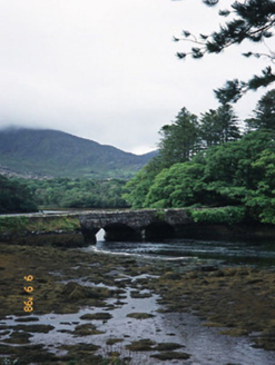 Cappul BridgeBridge · 291 yd
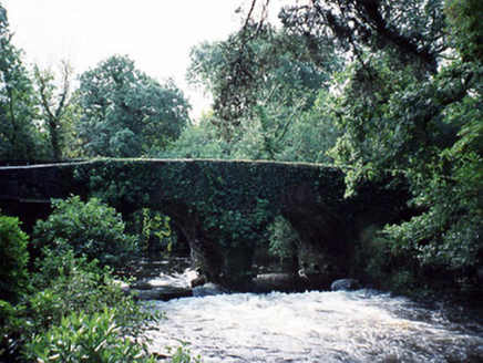 Lauragh BridgeBridge · 591 yd
 New Zealand broadleaf625 yd
 Japanese cedar668 yd
 KnockateeMountain / peak · 1.3 mi
 KnockastumpaMountain / peak · 1.4 mi
 Burial GroundGraveyard · 2.0 mi
 Rossmore IslandIsland · 4.3 mi
 Ormond's IslandIslet · 4.4 mi
 Uragh Stone CircleArchaeological place · 4.8 mi
 De Gaulle MemorialMonument · 7.4 mi
 Siege of DunboySiege · 11 mi
More historic places in County Kerry · All of County Kerry
What do you know about this place?