
What is recorded here
On the crest of a steep-sided ridge, to the S of the Bunaw-Loughaunacreen road. A rectangular graveyard (90m E-W) enclosed on its E, S, and W sides by a stone wall with vertical stone coping. The original N boundary line is defined by a linear scarp. There is a recent extension into the field to the N and a cement boundary wall defines its N side. There is an entrance into the extension at the N end of the W wall. Kilmakilloge church (KE108-002002-) is situated in the NW corner of the graveyard. Low uninscribed grave-markers are found in the church and graveyard, especially to the N of the church. Inscribed headstones date from 1789 to the present day. Approximately ten altar-tombs were noted, including the cut-limestone tomb of Mac Finnin Dubh (dated 1809). Late 19th-century celtic-cross type headstones and 20th-century headstones are mainly concentrated in the E section of graveyard. A curved scarp (L c. 26m; H 0.65m) NW-NE occurs to the N of the church and inside the old boundary line of the graveyard. A saint's stone (KE108-002001-) and a standing stone (KE108-028----) are associated with the graveyard. Volume I: South-West Kerry' (Dublin: Stationery Office, 2009).
On the crest of a steep-sided ridge, to the S of the Bunaw-Loughaunacreen road. A rectangular graveyard (90m E-W) enclosed on its E, S, and W sides by a stone wall with vertical stone coping. The original N boundary line is defined by a linear scarp. There is a recent extension into the field to the N and a cement boundary wall defines its N side. There is an entrance into the extension at the N end of the W…
From the National Monuments Service (Archaeological Survey of Ireland) record KE108-002
The monument record does not grant public access. Check the route and ask the landowner before entering private land.
- What survives
- Recorded monument
Places near here
Photo credits
- Trevor Harris, Geograph · CC BY-SA 2.0
- Josh Jackson, Wikimedia Commons · CC BY 2.0
- Yosemite, Wikimedia Commons · CC BY-SA 3.0
- Dr Charles Nelson, Geograph · CC BY-SA 2.0
- National Inventory of Architectural Heritage
- David Purchase, Geograph · CC BY-SA 2.0
- Richard Webb, Wikimedia Commons · CC BY-SA 2.0
- Gordon Hatton, Geograph · CC BY-SA 2.0
- Marathon, Geograph · CC BY-SA 2.0
- Mick Garratt, Geograph · CC BY-SA 2.0
Site of CellHermitage · 377 ydSheepfoldHut site · 1193 yd KnockateeMountain / peak · 1.6 miSoft Tree-fern1.6 miJapanese cedar1.6 miDerreen HouseHouse · 1.7 miCappul BridgeBridge · 1.9 miRossmore IslandIsland · 3.0 miKnockastumpaMountain / peak · 3.4 miOrmond's IslandIslet · 4.0 miDe Gaulle MemorialMonument · 5.4 miLackeen PointHeadland · 5.5 mi
 KnockateeMountain / peak · 1.6 mi
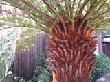 Soft Tree-fern1.6 mi
 Japanese cedar1.6 mi
 Derreen HouseHouse · 1.7 mi
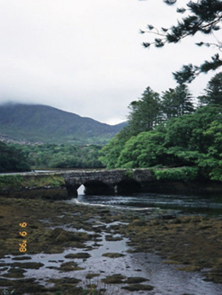 Cappul BridgeBridge · 1.9 mi
 Rossmore IslandIsland · 3.0 mi
 KnockastumpaMountain / peak · 3.4 mi
 Ormond's IslandIslet · 4.0 mi
 De Gaulle MemorialMonument · 5.4 mi
 Lackeen PointHeadland · 5.5 mi
More archaeology and monuments in County Kerry · All of County Kerry
What do you know about this place?