What is recorded here
In mixed pasture, on top of a knoll immediately E of Lough Mackeenlaun and c. 350m NE of Kilmakilloge church (KE108-002002-). Indicated on the 1846 OS 6-inch map as a roughly oval area (diam. c. 6m) on the edge of marshy ground surrounding the lake and named 'Site of Cell'. It consists of a rectangular structure (int. dims. 4.6m E-W; 3.2m N-S), covered by overgrowth, defined by a low grass-covered bank (Wth c. 0.9m; H 0.6m) of earth and stone. Stones are visible intermittently along the inner wall-face and grass-covered stones are scattered in the interior. 'Rounds' are made here on 7/8th July and traces of a pilgrimage path encircling the knoll are visible. The structure was recorded by Cusack (1871, 420) as 'the ruin of a small building, measuring 121/2 by 9 feet [3.81m x 2.74m], evidently a hermit's cell, which doubtless had some connection with the old church of Kilmakillage not far off'. Two cross-inscribed stones (KE108-004002-, KE108-004003-) are 6m to the E and 4m to the W of this hermitage, respectively and the adjacent lake is regarded locally as a holy well (KE108-004001-). See attached colour photograph courtesy of Amanda Clarke. Volume I: South-West Kerry' (Dublin: Stationery Office, 2009).
In mixed pasture, on top of a knoll immediately E of Lough Mackeenlaun and c. 350m NE of Kilmakilloge church (KE108-002002-). Indicated on the 1846 OS 6-inch map as a roughly oval area (diam. c. 6m) on the edge of marshy ground surrounding the lake and named 'Site of Cell'. It consists of a rectangular structure (int. dims. 4.6m E-W; 3.2m N-S), covered by overgrowth, defined by a low grass-covered bank (Wth c.…
From the National Monuments Service (Archaeological Survey of Ireland) record KE108-003
The monument record does not grant public access. Check the route and ask the landowner before entering private land.
- What survives
- Recorded monument
Places near here
Photo credits
- Michael Dibb, Geograph · Creative Commons Attribution-ShareAlike 2.0
- Trevor Harris, Geograph · CC BY-SA 2.0
- Josh Jackson, Wikimedia Commons · CC BY 2.0
- Yosemite, Wikimedia Commons · CC BY-SA 3.0
- Dr Charles Nelson, Geograph · CC BY-SA 2.0
- National Inventory of Architectural Heritage
- David Purchase, Geograph · CC BY-SA 2.0
- Richard Webb, Wikimedia Commons · CC BY-SA 2.0
- Gordon Hatton, Geograph · CC BY-SA 2.0
- Espresso Addict, Wikimedia Commons · CC BY-SA 2.0
- Mick Garratt, Geograph · CC BY-SA 2.0
- Marathon, Geograph · CC BY-SA 2.0
 Burial GroundGraveyard · 377 yd
 KnockateeMountain / peak · 1.4 mi
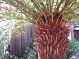 Soft Tree-fern1.5 mi
 Japanese cedar1.5 mi
 Derreen HouseHouse · 1.6 mi
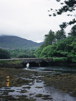 Cappul BridgeBridge · 1.9 mi
 Rossmore IslandIsland · 2.8 mi
 KnockastumpaMountain / peak · 3.3 mi
 Ormond's IslandIslet · 3.8 mi
 Uragh Stone CircleArchaeological place · 5.2 mi
 Lackeen PointHeadland · 5.3 mi
 De Gaulle MemorialMonument · 5.5 mi
More archaeology and monuments in County Kerry · All of County Kerry
What do you know about this place?