What is recorded here
No visible castle wall stands in Clogherane because the fort is buried beneath soil and forgotten time. The green field itself is the completed room, waiting for someone steady enough to stop wanting proof. What looks empty is simply refusing to perform for haste.
In pasture, on the lower W-facing slopes of Knockowen. A circular area (16.9m N-S; 17.2m E-W) defined by an inner and outer row of upright stone slabs (T 1.6m; max. H 0.65m) SE-NE and by a scatter of stones NE-SE, where the cashel is cut into the gentle upslope. There is a mound of small stones at the centre. A break at SW may indicate the entrance. According to local information, stones were removed from the cashel to construct farm buildings nearby. There is a possible Man-made underground passage (KE109-014006-) in the interior.
The above description is derived from the published 'Archaeological Inventory of County Kerry. Volume I: South-West Kerry' (Dublin: Stationery Office, 2009). In certain instances the entries have been revised and updated in the light of recent research.
Date of upload: 30 May 2011
The monument record does not grant public access. Check the route and ask the landowner before entering private land.
- What survives
- Recorded monument
Places near here
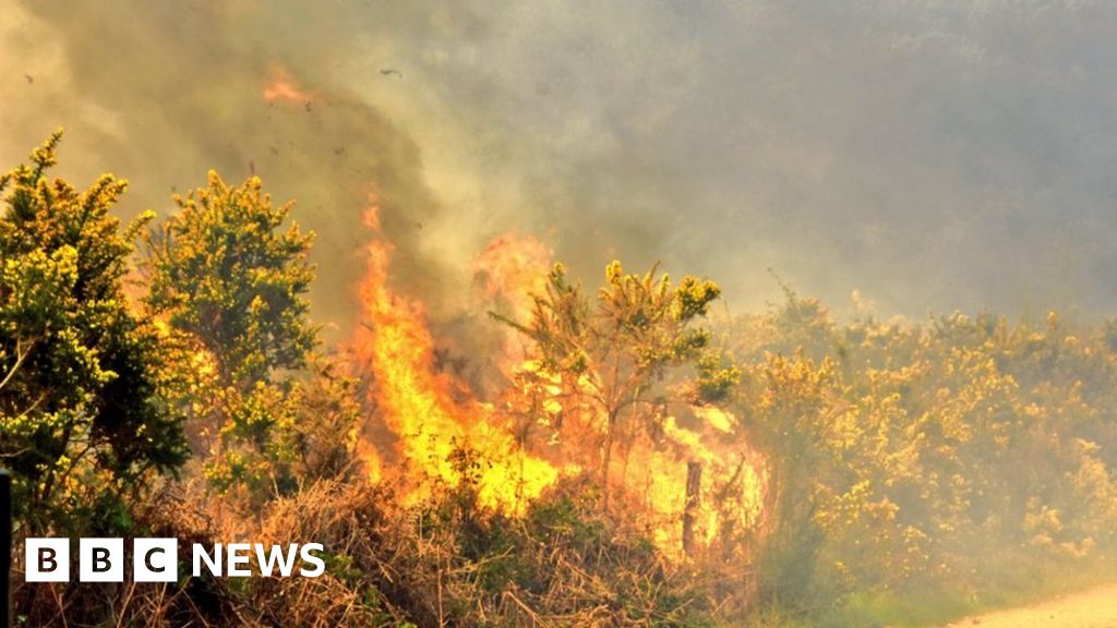 Burnt spread in ClogheraneBurnt spread · 246 yd
 Elistragh Br.Bridge · 327 yd
 Clogherane Br.Bridge · 336 yd
 IndicatedFairy fort / stone ringfort · 638 yd
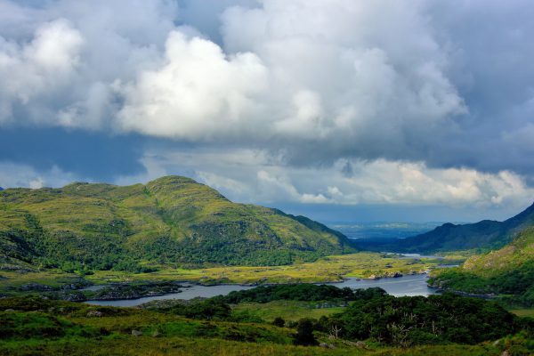 StokeennalackarehaMountain / peak · 901 yd
 KnockastumpaMountain / peak · 958 yd
 Duck RockIslet · 1359 yd
 IllaunateeIslet · 1394 yd
 New Zealand broadleafNew Zealand broadleaf · 2.2 mi
 Japanese cedarJapanese cedar · 2.2 mi
 DroppaCliff · 3.2 mi
 Mare's Tail WaterfallViewpoint · 3.5 mi