What is recorded here
In undulating pasture, on the lower W-facing slopes of Knockowen. A spread (c. 5m x 4m) of burnt material is visible on the surface of a reclaimed field. According to local information, a mound of burnt stones was levelled here during land reclamation. There is another burnt spread (KE109-057002-) c. 20m to the N. Volume I: South-West Kerry' (Dublin: Stationery Office, 2009).
From the National Monuments Service (Archaeological Survey of Ireland) record KE109-057001
The monument record does not grant public access. Check the route and ask the landowner before entering private land.
- What survives
- Recorded monument
Places near here
Photo credits
- Richard Webb, Wikimedia Commons · CC BY-SA 2.0
- Richard Webb, Geograph · CC BY-SA 2.0
- National Inventory of Architectural Heritage
- Mike Dickison, Wikimedia Commons · CC BY 4.0
- Yosemite, Wikimedia Commons · CC BY-SA 3.0
- Jeff Buck, Geograph · CC BY-SA 2.0
- Michael Dibb, Geograph · Creative Commons Attribution-ShareAlike 2.0
- Espresso Addict, Wikimedia Commons · CC BY-SA 2.0
- Nigel Cox, Geograph · CC BY-SA 2.0
 KnockastumpaMountain / peak · 999 ydDuck RockIslet · 1143 ydIllaunateeIslet · 1191 yd
 KnockowenMountain / peak · 1.5 mi
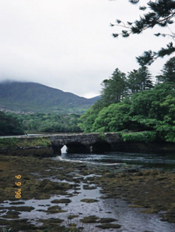 Cappul BridgeBridge · 1.7 mi
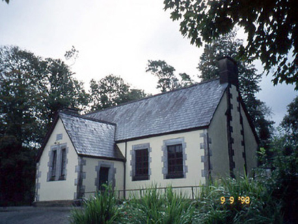 Lauragh National SchoolSchool · 1.7 mi
 New Zealand broadleaf2.1 mi
 Japanese cedar2.1 mi
 Mare's Tail WaterfallViewpoint · 3.5 mi
 Burial GroundGraveyard · 3.6 mi
 Uragh Stone CircleArchaeological place · 5.5 mi
 Gleninchaquin WaterfallWaterfall · 5.9 mi
More archaeology and monuments in County Kerry · All of County Kerry
What do you know about this place?