
What is recorded here
A mid/late 19th-century road bridge (Wth 6.2m; long axis NW-SE) spanning the Ahadav River. It is built of roughly dressed random rubble and has a single semicircular arch (span 3m) with large roughly dressed voussoirs.
Compiled by: Elizabeth Byrne, Ursula Egan and Sheila Ronan, Archaeological Survey Unit, University College, Cork.
Date of upload: 30 May 2011
The monument record does not grant public access. Check the route and ask the landowner before entering private land.
- What survives
- Recorded monument
Places near here
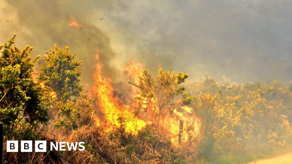 Burnt spread in ClogheraneBurnt spread · 247 yd
 Clogherane Br.Bridge · 649 yd
 KnockastumpaMountain / peak · 756 yd
 IndicatedFairy fort / stone ringfort · 791 yd
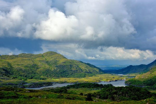 StokeennalackarehaMountain / peak · 1227 yd
 Ahadav Br.Bridge · 1241 yd
 Duck RockIslet · 1311 yd
 IllaunateeIslet · 1376 yd
 New Zealand broadleafNew Zealand broadleaf · 2.0 mi
 Japanese cedarJapanese cedar · 2.0 mi
 DroppaCliff · 3.2 mi
 Mare's Tail WaterfallViewpoint · 3.7 mi
Other information
Photo: Credit not shown in the picture search · Rights wording not checked; contact us if this picture should be removed