What is recorded here
In rough pasture, on a terrace on a SW-facing slope, to the S of a stream which flows into Glanmore Lake to the W. An oval area (37.6m E-W; int. 31.1m N-S) defined by a drystone wall (T 2.8m; H 1.35m) which is cut into the upslope NE-SE. There are cattle-breaks at E, S and NNW. A berm (Wth 1-2m) skirts along the W arc externally. Several sections of the wall appear to have been rebuilt. The wall NE-E appears to be mainly original. Most of the wall along the W arc is narrower than elsewhere and parts are poorly preserved. Stones from this section of wall may have been used in the nearby field walls. Rubble is piled against the inner wall-face at E. According to local information, there is a Man-made underground passage (KE108-024001-) in the cashel. The cashel is known locally as both 'Cathair Bhán' and 'the round field'. In the 1930s Capt. D. B. O'Connell recorded that the 'liss', called Caher Ván, had two stone fences and is the 'chief fairy fort in the parish' (KAS). Volume I: South-West Kerry' (Dublin: Stationery Office, 2009).
In rough pasture, on a terrace on a SW-facing slope, to the S of a stream which flows into Glanmore Lake to the W. An oval area (37.6m E-W; int. 31.1m N-S) defined by a drystone wall (T 2.8m; H 1.35m) which is cut into the upslope NE-SE. There are cattle-breaks at E, S and NNW. A berm (Wth 1-2m) skirts along the W arc externally. Several sections of the wall appear to have been rebuilt. The wall NE-E appears to…
From the National Monuments Service (Archaeological Survey of Ireland) record KE108-024
The monument record does not grant public access. Check the route and ask the landowner before entering private land.
- What survives
- Recorded monument
Places near here
Photo credits
- Richard Webb, Wikimedia Commons · CC BY-SA 2.0
- Richard Webb, Geograph · CC BY-SA 2.0
- National Inventory of Architectural Heritage
- Mike Dickison, Wikimedia Commons · CC BY 4.0
- Yosemite, Wikimedia Commons · CC BY-SA 3.0
- Jeff Buck, Geograph · CC BY-SA 2.0
- Michael Dibb, Geograph · Creative Commons Attribution-ShareAlike 2.0
- Nigel Cox, Geograph · CC BY-SA 2.0
Burnt spread in ClogheraneBurnt spread · 544 ydIllaunateeIslet · 862 ydDuck RockIslet · 874 yd KnockastumpaMountain / peak · 1541 ydKnockowenMountain / peak · 1.6 miCappul BridgeBridge · 1.9 miLauragh National SchoolSchool · 1.9 miNew Zealand broadleaf2.3 miJapanese cedar2.3 miMare's Tail WaterfallViewpoint · 3.2 miBurial GroundGraveyard · 3.8 miGleninchaquin WaterfallWaterfall · 6.2 mi
 KnockastumpaMountain / peak · 1541 yd
 KnockowenMountain / peak · 1.6 mi
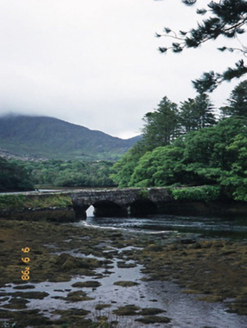 Cappul BridgeBridge · 1.9 mi
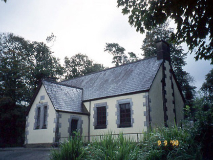 Lauragh National SchoolSchool · 1.9 mi
 New Zealand broadleaf2.3 mi
 Japanese cedar2.3 mi
 Mare's Tail WaterfallViewpoint · 3.2 mi
 Burial GroundGraveyard · 3.8 mi
 Gleninchaquin WaterfallWaterfall · 6.2 mi
More archaeology and monuments in County Kerry · All of County Kerry
What do you know about this place?