What is recorded here
Drombanny held a forty-metre earthen ring before ploughs and time erased it. The land is low, wet and choked with gorse, hiding the exact shape of what once stood there. It is not easy to imagine a boundary disappearing completely, yet the ground no longer gives it back.
Situated in low-lying, poorly drained pasture, much covered by gorse. The monument, depicted on the 1924 OS 6-inch map as an oval area (c. 40m N-S; c. 30m E-W) defined by a scarped edge, has been leveled and there was no evident trace of it when the site inspected.
Compiled by: Denis Power
date of upload: 28 March 2013
The monument record does not grant public access. Check the route and ask the landowner before entering private land.
- What survives
- Recorded monument
Places near here
 Enclosure in DrombannyEnclosure · 506 yd
 Browns StoneBurial ground · 884 yd
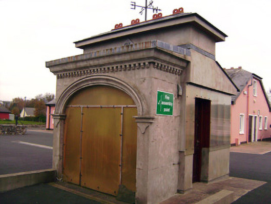 Drombanny Creamerycreamery · 1513 yd
 presbytery/parochial/curate's housepresbytery/parochial/curate's house · 1593 yd
 Castle (in ruins)Castle, tower house · 1.1 mi
 Lickadoon Castle (in ruins)Castle, tower house · 1.1 mi
 Visitor CentreVisitor information · 3.7 mi
 Campus MapVisitor information · 3.7 mi
 Fountain SculptureHeritage attraction · 3.7 mi
 Graveyard in AbingtonGraveyard · 7.3 mi
 Grave Yard.Graveyard · 1657 yd
 Donaghmore Church (in ruins)Church · 1670 yd