What is recorded here
Marked 'Fort' on OS 1836 and 1876 eds. Large almost circular natural rock-outcrop mound (diam. at base c. 27m; H c. 4m) encircled from NW-N-SE by a low earthen bank with partially infilled external fosse. Bank has been levelled from SE-S-SW and is identifiable only as a low scarp.
From the National Monuments Service (Archaeological Survey of Ireland) record CV041-020
The monument record does not grant public access. Check the route and ask the landowner before entering private land.
- What survives
- Recorded monument
Places near here
BarrowBarrow, pond barrow · 895 yd Columbia HouseOutbuilding · 1090 ydCartronfreeMountain / peak · 1264 ydCreevy HouseHouse · 1300 ydIndicatedCastle, unclassified · 2.0 miCarrickabaneMountain / peak · 2.0 miMoynagh Upper ForestForest · 2.3 mi1798 MonumentMonument · 2.7 miSheela-na-gig in AbbeylaraSheela-na-gig · 2.8 miGranard MotteMotte-and-bailey castle remains · 2.8 miMoat of GranardCastle, motte and bailey · 2.8 miMyles O'Reilly MonumentMemorial · 3.1 mi
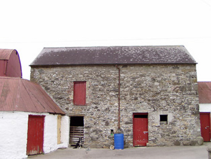 Columbia HouseOutbuilding · 1090 ydCartronfreeMountain / peak · 1264 yd
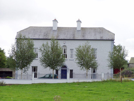 Creevy HouseHouse · 1300 ydIndicatedCastle, unclassified · 2.0 miCarrickabaneMountain / peak · 2.0 miMoynagh Upper ForestForest · 2.3 mi
 1798 MonumentMonument · 2.7 mi
 Sheela-na-gig in AbbeylaraSheela-na-gig · 2.8 mi
 Granard MotteMotte-and-bailey castle remains · 2.8 mi
 Moat of GranardCastle, motte and bailey · 2.8 mi
 Myles O'Reilly MonumentMemorial · 3.1 mi
Pictures: National Inventory of Architectural Heritage; Gillaween, Wikimedia Commons · CC BY-SA 4.0; 2ManyCats4Me, Wikimedia Commons · CC0; Granard Motte.png : Smcq Derivative work: Hogweard, Wikimedia Commons · CC BY-SA 3.0; Cavanphotography, Wikimedia Commons · CC BY-SA 4.0
More archaeology and monuments in County Cavan · All of County Cavan
What do you know about this place?