What is recorded here
On a gentle NE-facing slope, c. 55m to the NE of a standing stone (LF011-010----). A stone circle (LF011-007----) is c. 840m to the WNW. A concave, circular area (base diam. 12m; max. diam. 30.9m) enclosed by a wide and much-denuded, low bank of earth and stone (base Wth 13.4m; top Wth 7m; H 0.2m) with a wide, shallow, external fosse (base Wth 6m; top Wth 19.3m; D 0.25m). The surface of the concave area is between 0.25m (NNE) and 1.3m (SSE) below the external ground level and is similar morphologically to the possible pond-barrow (LF010-073----) at Ballybrien.Compiled by: Patrick F. O'Donovan
Date of upload: 14 November 2011
On a gentle NE-facing slope, c. 55m to the NE of a standing stone (LF011-010----). A stone circle (LF011-007----) is c. 840m to the WNW. A concave, circular area (base diam. 12m; max. diam. 30.9m) enclosed by a wide and much-denuded, low bank of earth and stone (base Wth 13.4m; top Wth 7m; H 0.2m) with a wide, shallow, external fosse (base Wth 6m; top Wth 19.3m; D 0.25m). The surface of the concave area is…
From the National Monuments Service (Archaeological Survey of Ireland) record LF011-008
The monument record does not grant public access. Check the route and ask the landowner before entering private land.
- What survives
- Recorded monument
Places near here
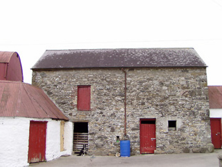 Columbia HouseOutbuilding · 481 ydEnclosure in TullygullinEnclosure · 895 yd
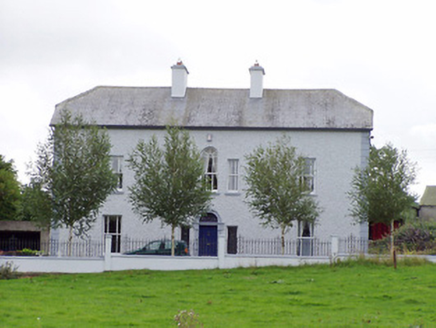 Creevy HouseHouse · 1227 ydCartronfreeMountain / peak · 1.0 miBakers FortCastle, ringwork · 2.0 mi
 1798 MonumentMonument · 2.2 miCarrickabaneMountain / peak · 2.3 mi
 Granard MotteMotte-and-bailey castle remains · 2.3 mi
 Moat of GranardCastle, motte and bailey · 2.3 mi
 Sheela-na-gig in AbbeylaraSheela-na-gig · 2.4 miMoynagh Upper ForestForest · 2.7 mi
 Myles O'Reilly MonumentMemorial · 3.1 mi
Pictures: National Inventory of Architectural Heritage; 2ManyCats4Me, Wikimedia Commons · CC0; Granard Motte.png : Smcq Derivative work: Hogweard, Wikimedia Commons · CC BY-SA 3.0; Gillaween, Wikimedia Commons · CC BY-SA 4.0; Cavanphotography, Wikimedia Commons · CC BY-SA 4.0
More archaeology and monuments in County Longford · All of County Longford
What do you know about this place?