What is recorded here
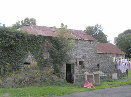
Reputed to be the site of a 16th-century O'Reilly castle (NMI: 1946). There are no visible remains at ground level. A large ruined house and outbuildings of late 18th/early 19th-century date now occupy the site.
From the National Monuments Service (Archaeological Survey of Ireland) record CV037-029
This remains an important historical record, but the official description says the monument is no longer visible or has been destroyed. The monument record does not grant public access. Check the route and ask the landowner before entering private land.
- What survives
- No visible remains or recorded as destroyed
Places near here
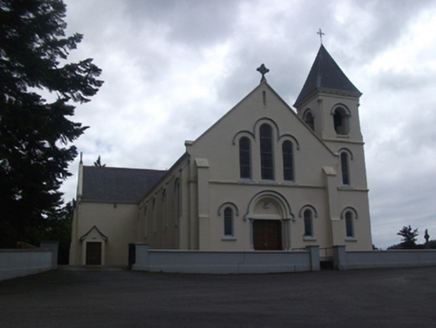 Our Lady of Lourdes Roman Catholic ChurchChurch/chapel · 1183 ydEnclosure in Carnagh UpperEnclosure · 1.1 miCartronfreeMountain / peak · 1.4 miToomeMountain / peak · 1.7 mi
 Clooneen MillMill (water) · 2.3 miMoynagh Upper ForestForest · 2.6 miCarrick RockWood · 3.3 mi
 Myles O'Reilly MonumentMemorial · 4.3 mi
 1798 MonumentMonument · 4.4 mi
 Granard MotteMotte-and-bailey castle remains · 4.5 mi
 Moat of GranardCastle, motte and bailey · 4.6 mi
 Sheela-na-gig in AbbeylaraSheela-na-gig · 4.7 mi
Pictures: National Inventory of Architectural Heritage; Cavanphotography, Wikimedia Commons · CC BY-SA 4.0; 2ManyCats4Me, Wikimedia Commons · CC0; Granard Motte.png : Smcq Derivative work: Hogweard, Wikimedia Commons · CC BY-SA 3.0; Gillaween, Wikimedia Commons · CC BY-SA 4.0
More castles and forts in County Cavan · All of County Cavan
What do you know about this place?