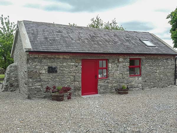
What is recorded here
Situated on the S-facing slope of a low rise in undulating countryside. A circular area (diam. 34m N-S) defined by a tree-planted scarp (H 0.5m) and outer fosse (Wth 1.5m; D 0.5m) of V-shaped profile. Possibly a landscape feature associated with a nearby house to the SW.
The above description is derived from 'The Archaeological Inventory of County Tipperary. Vol. 1 - North Tipperary' compiled by Jean Farrelly and Caimin O'Brien (Dublin: Stationery Office, 2002). In certain instances the entries have been revised and updated in the light of recent research.
Date of upload/revision: 22 September 2008
A local fairy fort (ringfort/rath); wider significance not recorded.
The monument record does not grant public access. Check the route and ask the landowner before entering private land.
- What survives
- Recorded monument
Places near here
 Ashgrove Househouse · 616 yd
 Water millWater mill, unclassified · 909 yd
 The Cobblers BoxBawn · 1.1 mi
 IndicatedEcclesiastical site · 1.2 mi
 St. Columbs WellHoly well · 1.2 mi
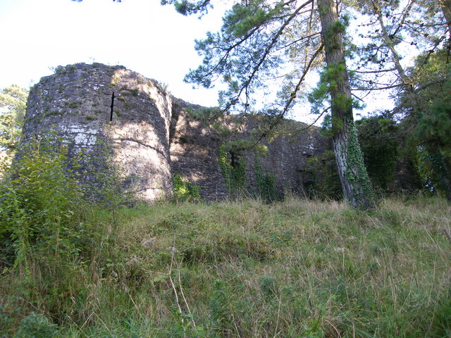 Old CourtCastle, Anglo-Norman masonry castle · 1.3 mi
 Sally IslandIslet · 1.8 mi
 Bounla IslandIslet · 1.9 mi
 Slevoir BayBay · 2.8 mi
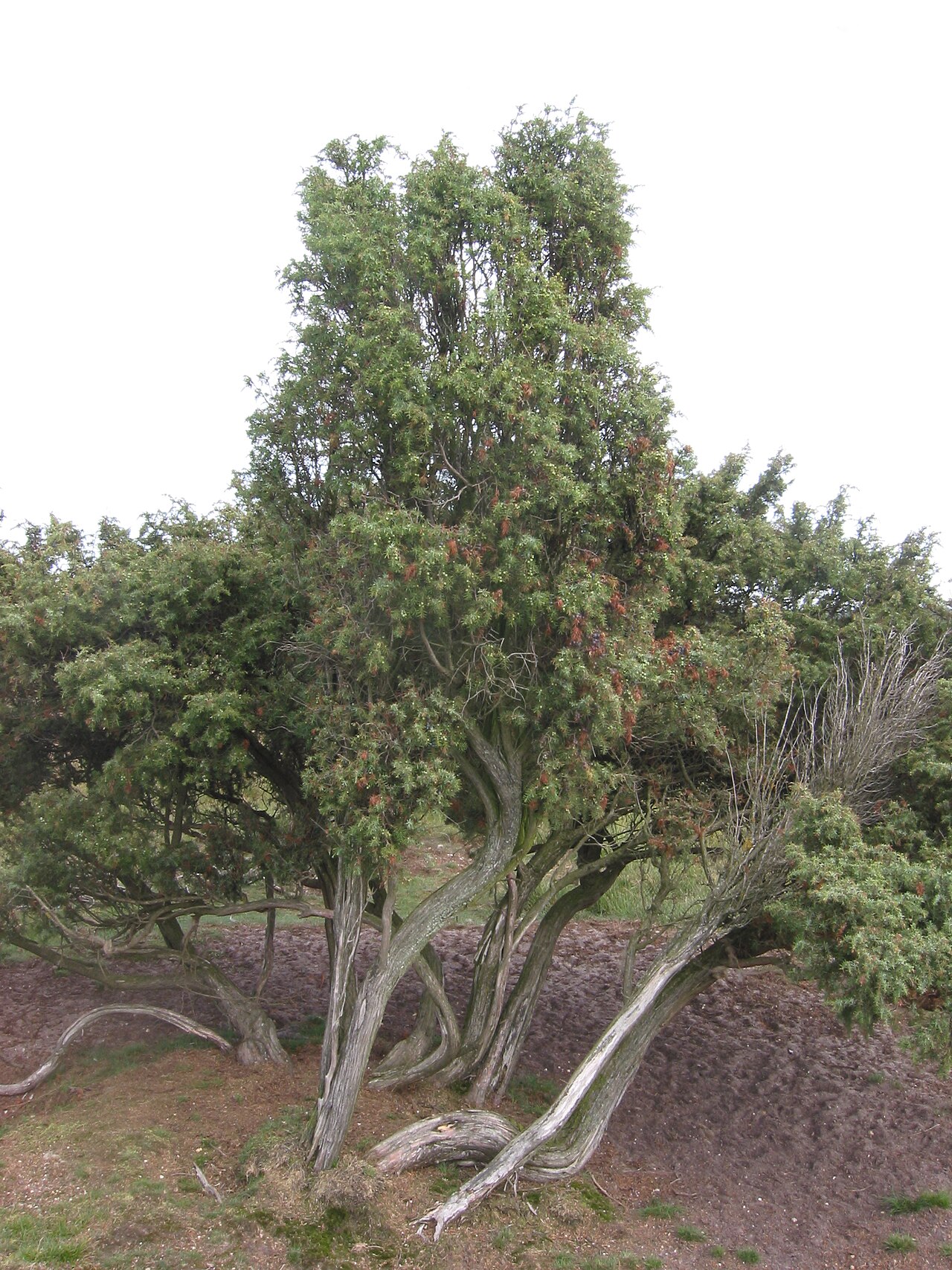 Common JuniperCommon Juniper · 3.0 mi
 Portumna Forest ParkForest · 3.1 mi
 Cregg PointHeadland · 3.1 mi
Other information
Photo: Credit not shown in the picture search · Rights wording not checked; contact us if this picture should be removed