
What is recorded here
Located on a steep S-facing slope on the demesne of Swainstown House, but it is not recorded on any map. The cropmark of a circular enclosure (diam. c. 45-50m) defined by a single fosse (Wth c. 3m) is visible on Bing maps (2013). It is also visible on Google Earth (21/04/2019; 04/03/2022; 28/03/2022) where it appears to have a wide entrance gap (Wth c. 35) on the E side. It was first reported by Jean Charles Caillére.
See the attached enhanced view from Google Earth (28/03/2022)
Compiled by: Michael Moore
Date of upload; 25 January 2023
A local fairy fort (ringfort/rath); wider significance not recorded.
The monument record does not grant public access. Check the route and ask the landowner before entering private land.
- What survives
- Recorded monument
Places near here
 Beech & Oak WoodWood · 504 yd
 Enclosure in Athronan (deece Lower By.)Enclosure · 950 yd
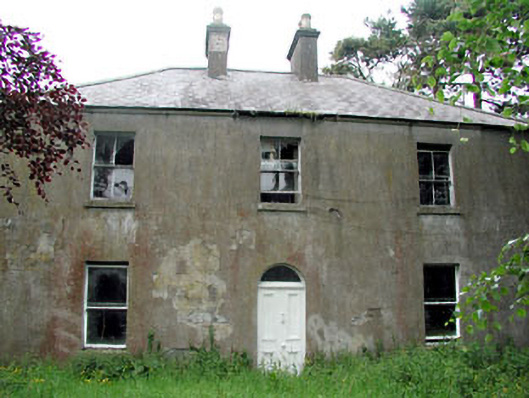 Conabery Housefarm house · 1139 yd
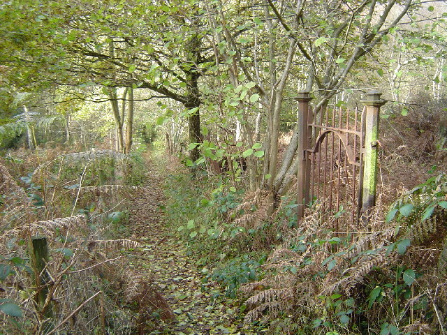 Moore's Hill WoodWood · 1192 yd
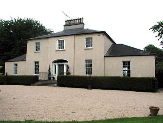 The Old Rectoryrectory/glebe/vicarage/curate's house · 1418 yd
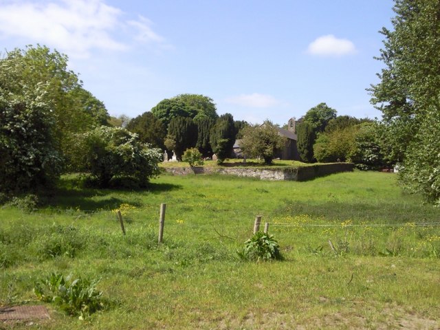 IndicatedGraveyard · 1574 yd
 Dunsany CastleCastle, unclassified · 1.4 mi
 Battle of Tara (Ireland)Major battlefield · 2.0 mi
 Battle of Tara Hillbattle · 2.0 mi
 Killeen CastleCastle, tower house · 2.2 mi
 Saint Patrick'sMemorial · 2.3 mi
 Tara Open StudioGallery · 2.3 mi
Other information
Photo: Credit not shown in the picture search · Rights wording not checked; contact us if this picture should be removed