
What is recorded here
Located on a fairly low S-N spur. A circular earthwork is depicted on a revision of the 1834 edition of the OS 6-inch map dated 1858, just N of a house described in italic lettering as ‘Fort Johnson’. No archaeological feature is visible at ground level in a farmyard.
The above description is derived from the published 'Archaeological Inventory of County Monaghan' (Dublin: Stationery Office, 1986). In certain instances the entries have been revised and updated in the light of recent research.
Date of revision: 29 August 2017
A local fairy fort (ringfort/rath); wider significance not recorded.
The monument record does not grant public access. Check the route and ask the landowner before entering private land.
- What survives
- Recorded monument
Places near here
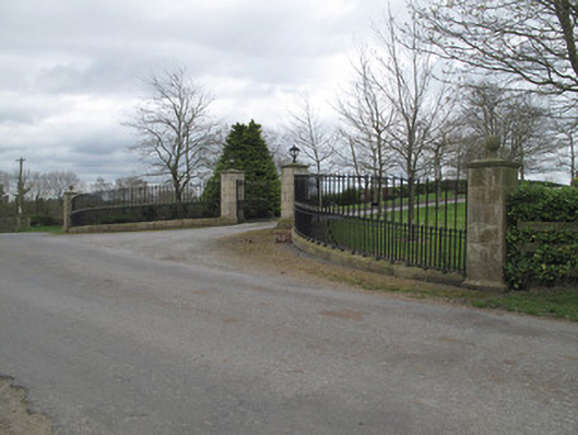 Fort Johnsongate lodge · 180 yd
 Glennan Presbyterian Churchchurch/chapel · 976 yd
 Crannog in Derrygassan Lower,emy,portinaghy,tiramoanCrannog · 1653 yd
 Hilltop enclosure in DrumbanagherHilltop enclosure · 1.0 mi
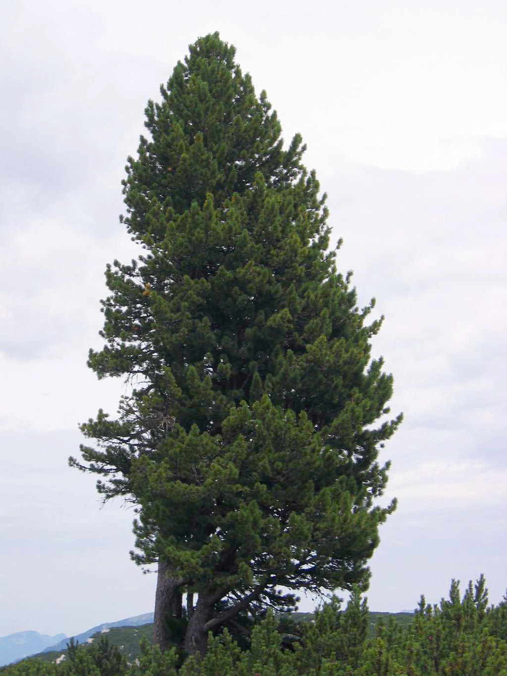 Swiss PineSwiss Pine · 1.6 mi
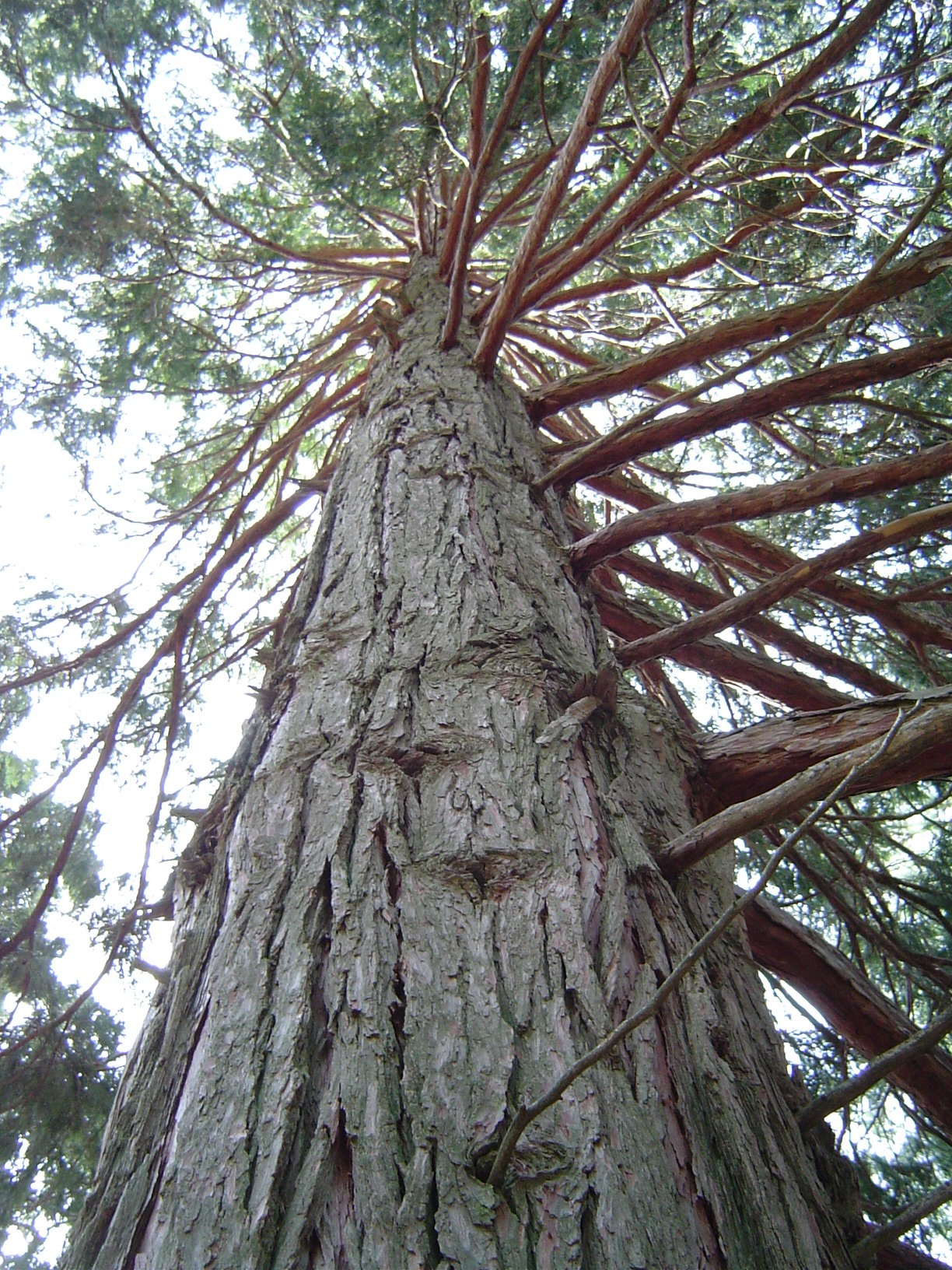 California Incense-cedarCalifornia Incense-cedar · 1.6 mi
 Emyvale Heritage TrailVisitor information · 1.7 mi
 Harry LaveryMemorial · 2.1 mi
 St. Muadain's WellSpring · 4.9 mi
 Monaghan County MuseumMuseum · 5.2 mi
 Banba GiantHeritage attraction · 6.8 mi
 Battle of BenburbMajor battlefield · 9.6 mi
Other information
Photo: Credit not shown in the picture search · Rights wording not checked; contact us if this picture should be removed