What is recorded here
Located at the W summit of a small E-W ridge. This is a circular grass-covered area (diam. 46m E-W; 42.6m N-S) defined by a slight earthen bank or scarp (at E: H 1.8m) with outer facing stones and a hedge. There are entrances at NW and ENE (Wth at top 4.5m), but the latter is probably original.
The above description is derived from the published 'Archaeological Inventory of County Monaghan' (Dublin: Stationery Office, 1986). In certain instances the entries have been revised and updated in the light of recent research.
Date of revision: 29 August 2017
The monument record does not grant public access. Check the route and ask the landowner before entering private land.
- What survives
- Recorded monument
Places near here
 Mullapike Protestant Hallhall · 817 yd
 Enclosure in StramoreEnclosure · 1252 yd
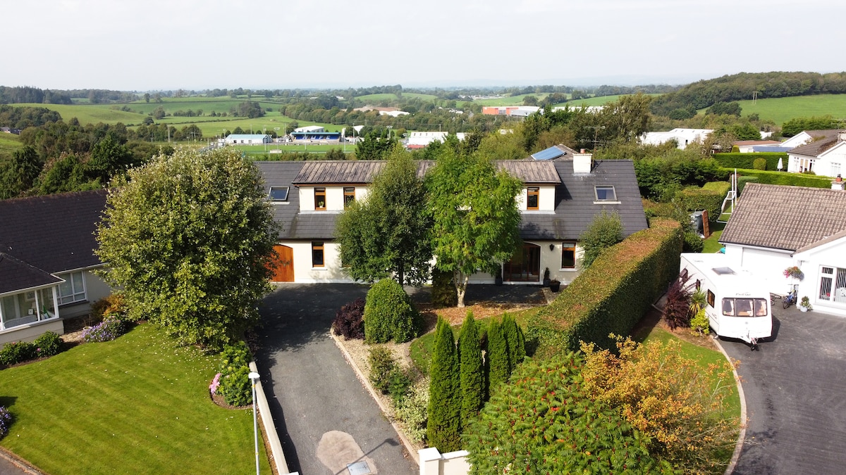 Enclosure in DrumgaghanEnclosure · 1296 yd
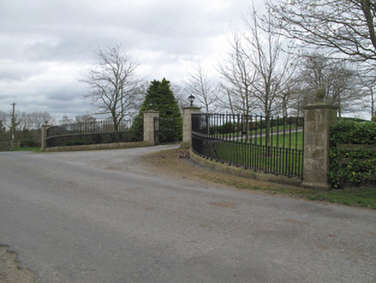 Fort Johnsongate lodge · 1400 yd
 Emyvale Heritage TrailVisitor information · 1.9 mi
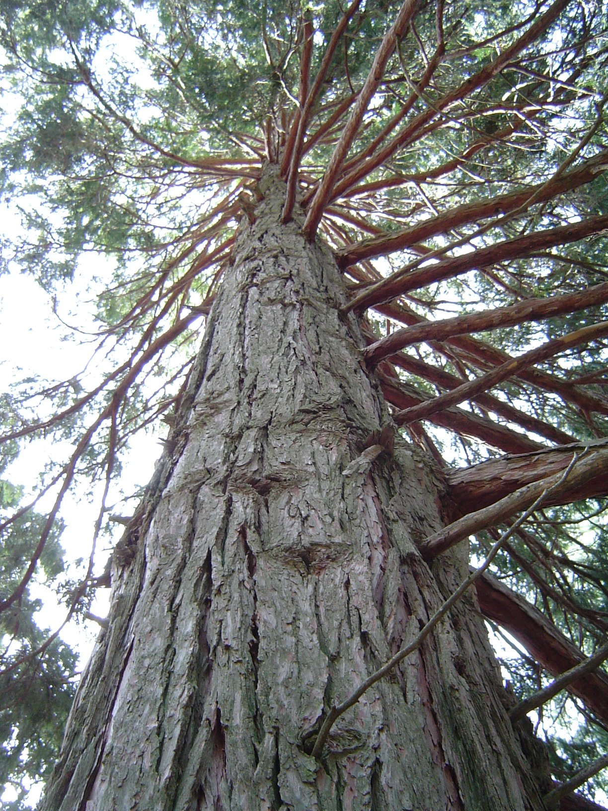 California Incense-cedarCalifornia Incense-cedar · 2.0 mi
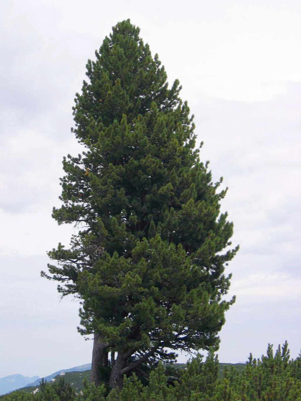 Swiss PineSwiss Pine · 2.0 mi
 Harry LaveryMemorial · 2.6 mi
 Monaghan County MuseumMuseum · 4.5 mi
 Rossmore MonumentMemorial · 4.7 mi
 Bawn in Roosky (monaghan By., Monaghan Par.)Bawn · 4.8 mi
 Banba GiantHeritage attraction · 6.1 mi