What is recorded here
Located on a gentle S-facing slope. There are local reports that a number of distinctive rings become visible when this field is growing cereals. These were about twelve feet (diam. c. 4m) across. Bricks had been made in the locality and they may be related to this as they could represent firing-pits. The rings do not appear on any aerial photographs. The precise locations are not known. Date of revised upload: 29 August 2017
From the National Monuments Service (Archaeological Survey of Ireland) record MO006-032
The monument record does not grant public access. Check the route and ask the landowner before entering private land.
- What survives
- Recorded monument
Places near here
Photo credits
- Kenneth Allen, Geograph · Creative Commons Attribution-ShareAlike 2.0
- Eric Jones, Geograph · Creative Commons Attribution-ShareAlike 2.0
- National Inventory of Architectural Heritage
- Andreas F. Borchert, Wikimedia Commons · CC BY-SA 3.0 de
- Raymond Okonski, Wikimedia Commons · CC BY-SA 2.0
- Eric Jones, Geograph · CC BY-SA 2.0
- Brian Lenehan, Geograph · CC BY-SA 2.0
- Allie_Caulfield from Germany, Wikimedia Commons · CC BY 2.0
- abdallahh from Montréal, Canada, Wikimedia Commons · CC BY 2.0
- Sean Davis, Geograph · CC BY-SA 2.0
- James O'Neill, Wikimedia Commons · CC BY-SA 4.0
- Kenneth Allen, Geograph · CC BY-SA 2.0
 Mullapike Protestant HallHall · 1158 yd
 Saint Patrick's Catholic ChurchChurch/chapel · 1755 yd
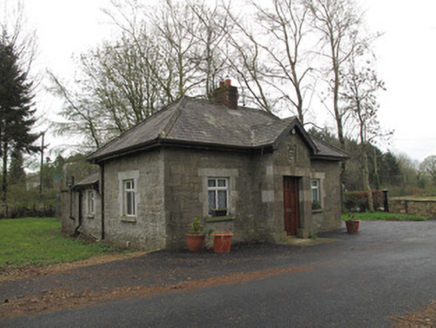 Anketell GroveGate lodge · 1.0 mi
 Monaghan County MuseumMuseum · 3.8 mi
 Rossmore MonumentMemorial · 4.0 mi
 Dawson MonumentMonument · 4.1 mi
 Old Cross SquareMonument · 4.1 mi
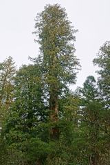 Coast Redwood4.1 mi
 Western Redcedar4.1 mi
 Keady MonumentMemorial · 10 mi
 Battle of BenburbMajor battlefield · 11 mi
 Monaghan WayWalking route · 12 mi
More archaeology and monuments in County Monaghan · All of County Monaghan
What do you know about this place?