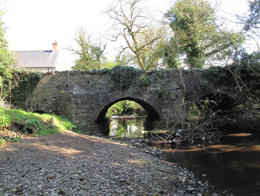
Places near here
Photo credits
- National Inventory of Architectural Heritage
- Kenneth Allen, Geograph · Creative Commons Attribution-ShareAlike 2.0
- Wsiegmund, Wikimedia Commons · CC BY 2.5
- Vyacheslav Argenberg from Seattle, WA, USA, Wikimedia Commons · CC BY 2.0
- Kenneth Allen, Wikimedia Commons · CC BY-SA 2.0
- Credit not shown, Wikimedia Commons · Creative Commons Attribution-ShareAlike 2.0
- Walking with a phone, Wikimedia Commons · CC BY-SA 4.0
- Jon Sullivan, Wikimedia Commons · Public domain
- James O'Neill, Wikimedia Commons · CC BY-SA 4.0
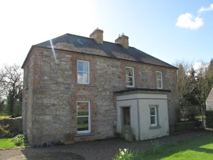 Aghaboy HouseHouse · 50 yd
 Glennan Presbyterian ChurchChurch/chapel · 153 yd
Explorer Tom Glennan Presbyterian Church has made a New Year's resolution to stop looking so much like an Anglican church and own that tower. It’s sitting pretty in the graveyard with a wind vane that judges your outfit. Visit, then text me what you thought!
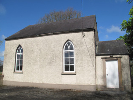 Glennan National SchoolSchool · 187 yd
Explorer Tom Glennan National School has Y-tracery windows that look like they’re judging your life choices from afar. The stones are hiding messages about why nobody ever came back for lunch. If it rains, blame me for not checking the sky first.
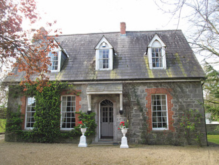 The ManseManse · 200 yd
Explorer Tom The Manse in Glennan is so grand a cow once tried to buy it with a shiny hoof. The brick and stone mix looks like someone spilled their paintbox all over the garden wall. Best seen with a hangover an
 Sitka Spruce1.1 mi
 Caucasian Fir1.1 mi
 Emy LoughPark · 1.1 mi
 Tynan terrace cross in Fairview or MucklaghTynan Terrace Cross · 3.3 mi
Explorer Tom Tynan terrace cross in Fairview Or Mucklagh is a stone with a bad attitude, convinced it’s the only thing keeping the zombies away from the nearby houses. It doesn’t run, it just stands there and roars at the darkness. Have a sandwich here and call it a heritage lunch.
 Rossmore MausoleumHeritage attraction · 8.1 mi
 Holy Well: Saint Malachys Well, Saint Mochuas Well & Tobar Mochua Agus Mocholmog in DrummelandHoly Well: Saint Malachys Well, Saint Mochuas Well & Tobar Mochua Agus Mocholmog · 8.3 mi
Explorer Tom Saint Malachys Well in Drummeland would survive a zombie attack by just standing still and letting them trip over its own ancient stones. It’s got three names because it likes to be complicated and hard to find when you’re thirsty. Make a wish, it's had centuries of practice.
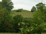 Macha's Curse: Navan FortLegend location · 8.9 mi
Explorer Tom Macha's Curse: Navan Fort tells of a king who made a pregnant goddess race his horses. She won and cursed Ulster's men for his cruelty. I do like a victory, but this king made the very worst choice of opponent. The fort's earthworks are real; the race belongs to legend.
 Battle of BenburbMajor battlefield · 9.1 mi
Explorer Tom Battle of Benburb in County Tyrone is playing hide-and-seek with me. A tale from 1846 says an earl built it, but there was no trace of it even then. Take a picture for me if you pass! Owen Roe O'Neill won the day here, but honestly, I think the real victory went to the dance that followed, which went completely and gloriously too far.
More historic places in County Monaghan · All of County Monaghan

What do you know about this place?Tap to add a comment or ask a question