
What is recorded here
Situated on a SE-facing slope. The cropmark of a small enclosure (diam. c. 22m) defined by a fosse is visible only on Apple Maps (2018). The perimeter can only be traced WNW-E-SW. The features were first reported by Jean Charles Caillére.
See the attached enhanced view from Apple Maps (2018)
Compiled by: Michael Moore
Date of upload: 29 June 2021
The monument record does not grant public access. Check the route and ask the landowner before entering private land.
- What survives
- Recorded monument
Places near here
 Enclosure in StackallanEnclosure · 146 yd
 St. Marys ChurchChurch · 653 yd
 Tober PatrickHoly well · 691 yd
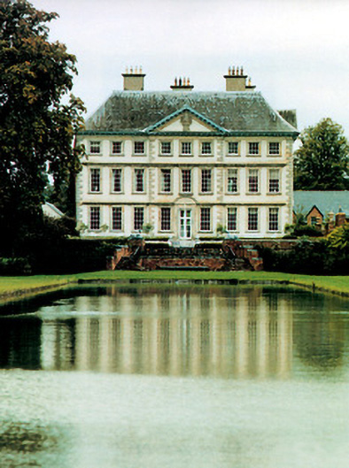 Stackallan Housecountry house · 747 yd
 Cocker's WoodWood · 1197 yd
 Cruicetown WoodWood · 1.2 mi
 CastleCastle, motte · 1.2 mi
 Dunmoe CastleCastle, unclassified · 1.4 mi
 Donaghmore Round TowerHeritage attraction · 2.3 mi
 Carn HillMountain / peak · 2.7 mi
 Mullagha HillMountain / peak · 3.2 mi
 RiverviewMemorial · 3.3 mi
Other information
Photo: Credit not shown in the picture search · Rights wording not checked; contact us if this picture should be removed