What is recorded here
Situated on a rise in a fairly level landscape and at the crest of a fairly gentle slope down to a SW-NE section of the River Boyne that is c. 200m distant. There is a quarry face (H c. 10m) immediately to the NE. This was described in 1969 (SMR file) as an oval grass and scrub-covered platform (dims of top 38m N-S; 27m E-W) defined by a scarp (at WSW: Wth 8m; H 1.3m; at ENE: Wth 6m; H 2m) with a berm (at WSW: Wth 2m; at ENE: Wth 6.5m) at its base defined by a scarp (at WSW: Wth 3m; H 0.6m; at ENE: Wth 3.5m; H 1.7m) that melds into the natural slope. There is a possible entrance (Wth 3.5m) at ESE.
The above description is derived from the published 'Archaeological Inventory of County Meath' (Dublin: Stationery Office, 1987). In certain instances the entries have been revised and updated in the light of recent research.
This monument is subject to a preservation order made under the National Monuments Acts 1930 to 2014 (PO no. 9/1957) and is in state guardianship, No. 496.
Date of upload: 10 July 2007
Revised: 29 March 2023
The monument record does not grant public access. Check the route and ask the landowner before entering private land.
- What survives
- Recorded monument
Places near here
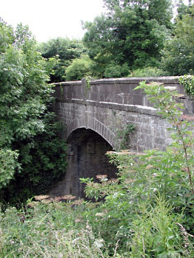 Thompson Bridgebridge · 252 yd
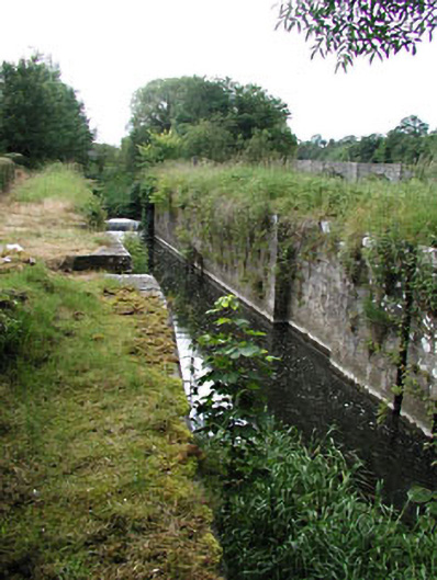 Stackallan Locklock · 254 yd
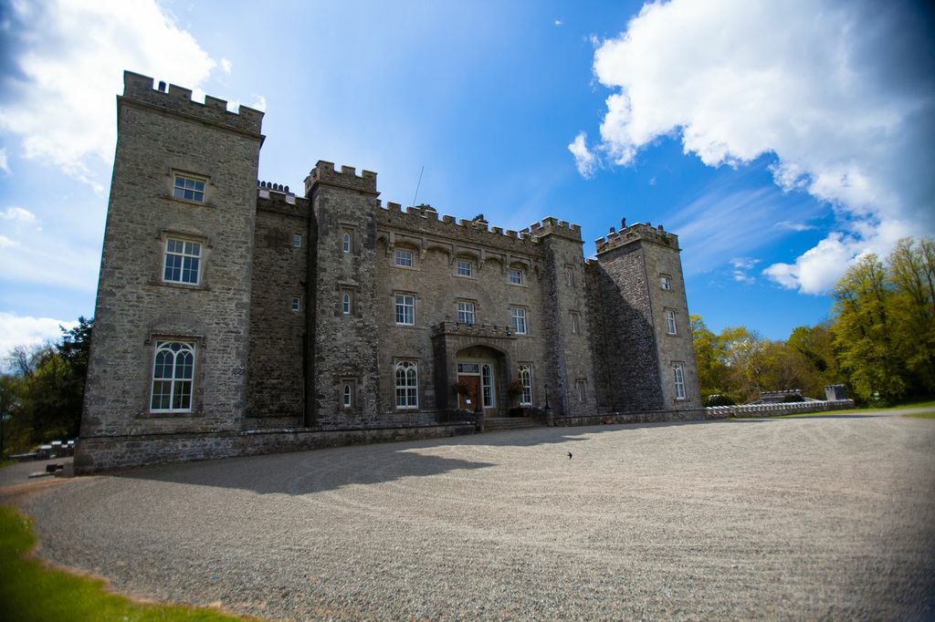 LugareeRitual site, pond · 408 yd
 Cocker's WoodWood · 720 yd
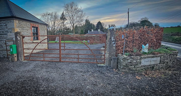 Enclosure in Haystown AND Carnuff LittleEnclosure · 738 yd
 CastleCastle, motte · 1722 yd
 Cruicetown WoodWood · 1.1 mi
 Dunmoe CastleCastle, unclassified · 1.4 mi
 Carn HillMountain / peak · 2.2 mi
 Donaghmore Round TowerHeritage attraction · 2.4 mi
 RiverviewMemorial · 3.1 mi
 Pat's Art StudioGallery · 3.2 mi