
What is recorded here
Located at the tip of a S-N spur (H c. 20m W-NE) with a S-N section of the River Boyne c. 50m to the W and c. 25m lower, while the valley of a SE-NW stream is c. 50m to the E and at least 10m lower. Ardmulchan was retained by Hugh de Lacy in the initial sub-infeudation of Meath but sometime before 1199 it had been granted to Theobold Walter de Botellier, whose principal grants were in Thomond. In a charter witnessed by three bishops and Meiler FitzHenry, the Justiciar (1199-1203), Theobold granted the church and chapels of Archmulchan to the Augustinians of St Thomas the Martyr (DU018-020051-). The temporalities were secured by Bishop de la Corner for the nunnery of Lismullin (ME032-024----) c. 1240 and they still had rights there by the Dissolution (White 1940, 256). By 1212 when all the de Lacy property was in the King’s hands and administered by William le Petit, Ardmulchan yielded over 23 pounds in rent making it one of the most profitable settlements in Meath. The manor passed from the de Lacy to the de Genneville family through marriage in 1244, but it continued to prosper and in 1297 when the sheriff tried to execute a warrant against Geoffrey de Genneville at Ardmulchan he was intimidated by the inhabitants and found himself deprived of his own cattle. (Hickey 1994, 167-9)
The motte is a flat-topped and grass-covered earthen mound (dims of top 36m N-S; 27m E-W), the top of which slopes down (H c. 2m) to the N and has some trees. At the bottom of the mound (diam. of base 58m N-S; H 4.7m at S to 6.2m at N) is a berm (at S: Wth 5m; at N: Wth 2m) or fosse that is bordered by an earthen bank (at N: Wth 6m; int. H 1m; ext. H 1.6m; at S: Wth c. 15m; int. H 0.8m; ext. H 1.2m) which may date from the nineteenth century as the monument (max. ext. diam. c. 90m N-S) is represented as covered with trees on the 1836 edition of the OS 6-inch map. The parish church of Ardmulchan (ME025-020001-) is c. 50m to the S.
The above description is derived from the published 'Archaeological Inventory of County Meath' (Dublin: Stationery Office, 1987). In certain instances the entries have been revised and updated in the light of recent research.
Compiled by: Michael Moore
Date of revision: 2 June 2016
Amended: 29 March 2023
Hickey, E. 1994 Skryne and the Early Normans: papers concerning the medieval manors of the Feypo family in Ireland in the 12th and early 13th centuries. Meath Archaeological and Historical Society, Dublin.
White, N. B. 1943 Extents of Irish monastic possessions, 1540-1541. Dublin, Irish Manuscripts Commission
A local castle; wider significance not recorded.
The monument record does not grant public access. Check the route and ask the landowner before entering private land.
- What survives
- Recorded monument
Places near here
 Church (in Ruins)Church · 96 yd
 Enclosure in ArdmulchanEnclosure · 260 yd
 Dunmoe CastleCastle, unclassified · 725 yd
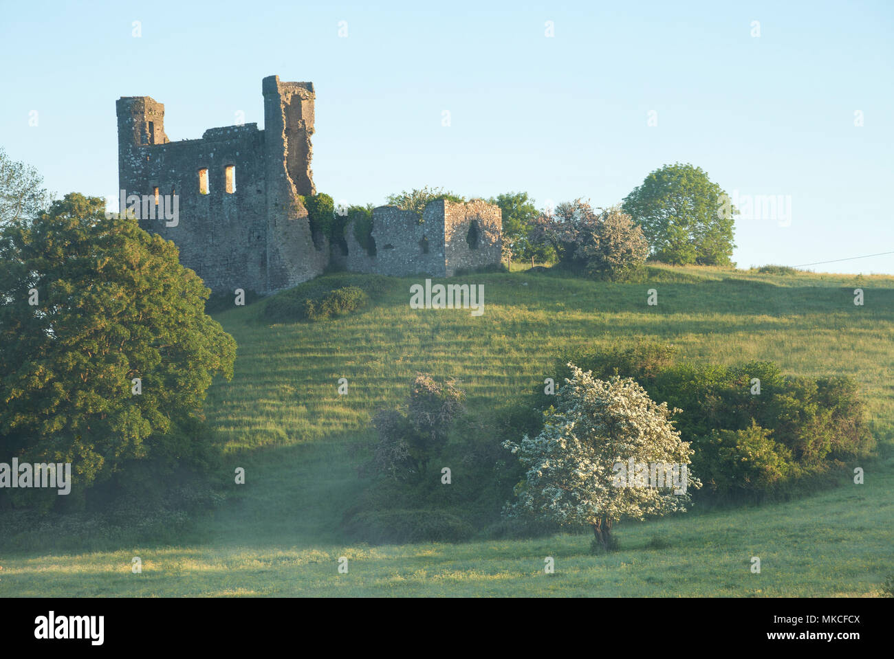 Enclosure in DunmoeEnclosure · 1055 yd
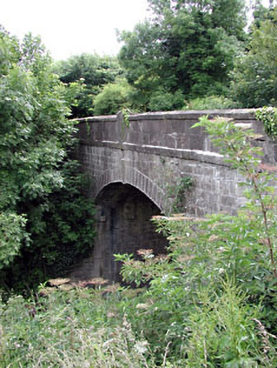 Thompson Bridgebridge · 1619 yd
 Rowley's WoodWood · 1.1 mi
 Cocker's WoodWood · 1.4 mi
 Donaghmore Round TowerHeritage attraction · 1.5 mi
 Carn HillMountain / peak · 1.6 mi
 Nangle CourtMemorial · 2.8 mi
 Slane CastleCastle, unclassified · 3.6 mi
 Mullagha HillMountain / peak · 4.1 mi
Other information
Photo: Credit not shown · Copyright shown; no reuse licence shown