
What is recorded here
Situated on a bluff overlooking the ravine (D c. 5m) of a short SE-NW stream that joins the River Boyne c. 300m to the NW. This is a rectangular grass-covered area (dims 20.7m NW-SE; 14.6m NE-SW) defined by a grass-covered stone spread (at SW: Wth 2.75m; H 0.5-0.7m). There are two gaps (Wth 1.7m: 1.6m) on the SW side and one (Wth 1.3m) on the SE. Old quarries on the S side have damaged the S corner.
The above description is derived from the published 'Archaeological Inventory of County Meath' (Dublin: Stationery Office, 1987). In certain instances the entries have been revised and updated in the light of recent research.
Compiled by: Michael Moore
Date of upload: 10 July 2007
Revised: 29 March 2023
A local fairy fort (ringfort/rath); wider significance not recorded.
The monument record does not grant public access. Check the route and ask the landowner before entering private land.
- What survives
- Recorded monument
Places near here
 Church (in Ruins)Church · 241 yd
 CastleCastle, motte · 260 yd
 Dunmoe CastleCastle, unclassified · 969 yd
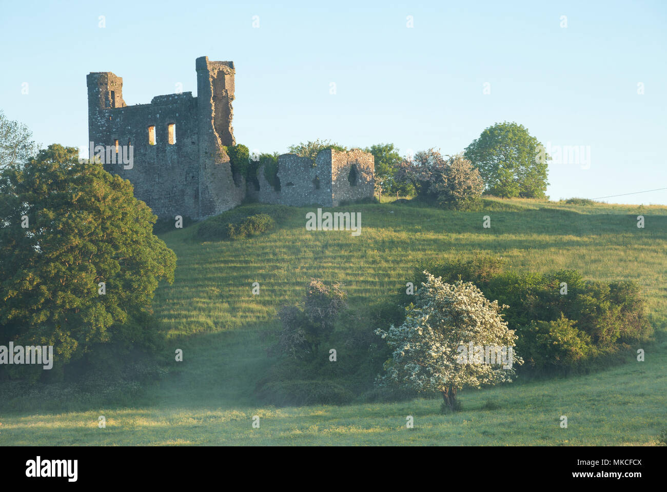 Enclosure in DunmoeEnclosure · 1057 yd
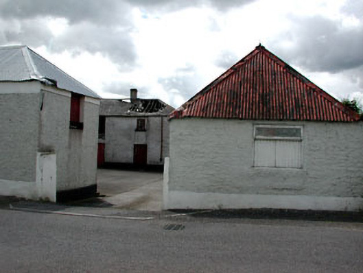 Haystown Cottagefarmyard complex · 1472 yd
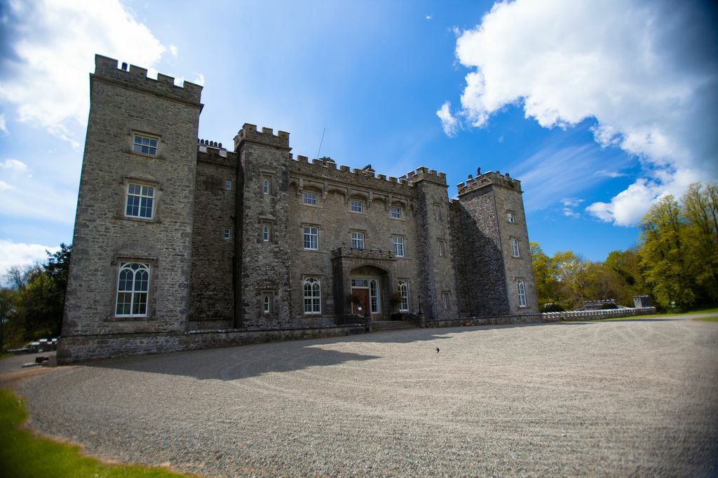 LugareeRitual site, pond · 1.1 mi
 Rowley's WoodWood · 1.3 mi
 Cocker's WoodWood · 1.3 mi
 Carn HillMountain / peak · 1.5 mi
 Donaghmore Round TowerHeritage attraction · 1.6 mi
 Nangle CourtMemorial · 3.0 mi
 RiverviewMemorial · 4.0 mi
Other information
Photo: Credit not shown in the picture search · Rights wording not checked; contact us if this picture should be removed