What is recorded here
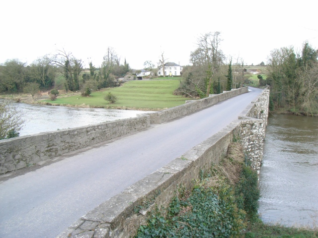
Broadboyne Bridge in Dunmoe has little triangular refuges where pedestrians can tuck themselves out of the traffic. Even halfway across a river, Meath has provided somewhere to stand for forty minutes saying, ‘Right, I'll let you go.’
Six-arch limestone road bridge over river, built c.1820. Roughly dressed stone walls with ashlar copings. Triangular cutwaters to upstream and downstream elevations, which form pedestrian refuges on road side elevations.
This bridge makes a striking and positive contribution to the surrounding area. Of particular note are the cutwaters which form pedestrian refuges on the road side elevations.
From the Buildings of Ireland (National Inventory of Architectural Heritage) record 14402506
This does not grant access. Most recorded buildings are privately owned; view them only from public ground unless the owner allows entry.
Places near here
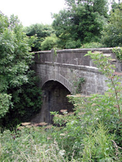 Thompson BridgeBridge · 66 yd
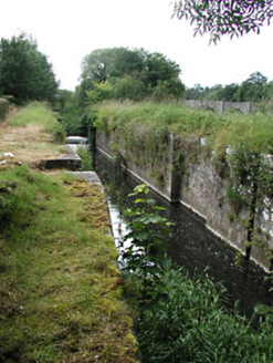 Stackallan LockLock · 140 yd
.jpg/250px-Picturesque_Ireland_-_a_literary_and_artistic_delineation_of_the_natural_scenery,_remarkable_places,_historical_antiquities,_public_buildings,_ancient_abbeys,_towers,_castles,_and_other_romantic_and_(14779127292).jpg "Photo: Internet Archive Book Images, Wikimedia Commons · No restrictions") Dunmoe CastleCastle · 1.3 mi
Dunmoe CastleCastle · 1.3 mi Dunmoe CastleCastle, unclassified · 1.3 mi
 Baronstown CrossCross, Wayside cross · 1.8 miCarn HillMountain / peak · 2.3 mi
 Round Tower2.3 mi
 Donaghmore Round TowerHeritage attraction · 2.3 mi
 European Yew2.8 miRiverviewMemorial · 3.2 mi
 Lebanon Cedar3.9 mi
 KnowthArchaeological place · 5.0 mi
Pictures: National Inventory of Architectural Heritage; Internet Archive Book Images, Wikimedia Commons · No restrictions; Mike Searle, Geograph · CC BY-SA 2.0; JP, Wikimedia Commons · CC BY-SA 2.0; Albert Bridge, Geograph · CC BY-SA 2.0; Aubrey Martin, Wikimedia Commons · CC BY-SA 4.0; Sitomon, Wikimedia Commons · CC BY-SA 2.0; Olivier BEZES, Wikimedia Commons · CC BY 2.5; Sitomon, Wikimedia Commons · Public domain
More historic places in County Meath · All of County Meath
What do you know about this place?