What is recorded here
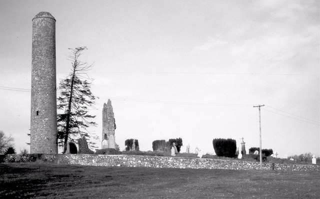
Situated on a slight E-facing slope, with the SW-NE River Boyne in its steep-sided valley c. 450m to the E and S. The round tower (ext. diam. 4.98m; H 26.6m) with a round-headed doorway c. 3m above ground level facing E which is surmounted by crucifixion scene (Barrow 1979, 162-6) is at the W edge of a subrectangular graveyard (dims c. 45m NE-SW; c. 40m NW-SE) defined by masonry walls. The tower was consolidated in 1841 by a local landowner, who is probably responsible for the lack of openings and the flat cap at the top. Issac Butler writing c. 1749 describes ‘four windows under a pyramid’ (Butler 1892, 126). See attached general view and view of the doorway.
Situated on a slight E-facing slope, with the SW-NE River Boyne in its steep-sided valley c. 450m to the E and S. The round tower (ext. diam. 4.98m; H 26.6m) with a round-headed doorway c. 3m above ground level facing E which is surmounted by crucifixion scene (Barrow 1979, 162-6) is at the W edge of a subrectangular graveyard (dims c. 45m NE-SW; c. 40m NW-SE) defined by masonry walls. The tower was consolidated…
From the National Monuments Service (Archaeological Survey of Ireland) record ME025-015002
The monument record does not grant public access. Check the route and ask the landowner before entering private land.
- What survives
- Recorded monument
Places near here
 Donaghmore Round TowerHeritage attraction · 2 yd
 Church (in Ruins)Church · 23 yd
 Bridge in Ferganstown and BallymaconBridge · 666 yd
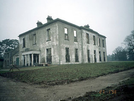
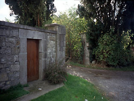 Blackcastle HouseGates/railings/walls · 1711 yd
 post box1732 yd
 Dunmoe CastleCastle, unclassified · 1.1 mi
.jpg/250px-Picturesque_Ireland_-_a_literary_and_artistic_delineation_of_the_natural_scenery,_remarkable_places,_historical_antiquities,_public_buildings,_ancient_abbeys,_towers,_castles,_and_other_romantic_and_(14779127292).jpg "Photo: Internet Archive Book Images, Wikimedia Commons · No restrictions") Dunmoe CastleCastle · 1.1 mi
Dunmoe CastleCastle · 1.1 mi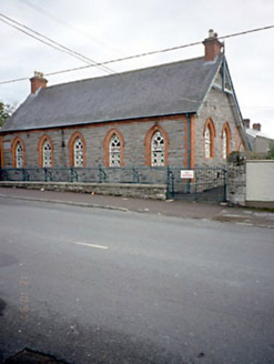 Flower Hill National SchoolSchool · 1.1 mi
 Blackcastle HouseHouse · 1.1 mi
 European Yew4.0 miEuropean Yew4.0 mi
 MonasteryEcclesiastical residence · 5.9 mi
Pictures: Aubrey Martin, Wikimedia Commons · CC BY-SA 4.0; Jamesfofo, Wikimedia Commons · CC BY-SA 4.0; National Inventory of Architectural Heritage; Mike Searle, Geograph · CC BY-SA 2.0; Internet Archive Book Images, Wikimedia Commons · No restrictions; Sitomon, Wikimedia Commons · CC BY-SA 2.0; Dieglop, Wikimedia Commons · CC BY-SA 4.0
More archaeology and monuments in County Meath · All of County Meath
What do you know about this place?