
What is recorded here
Bridge in Ferganstown and Ballymacon is down to one surviving arch, but still has pyramidal caps on its breakwaters. Babe’s Bridge has given up getting you across the Boyne; it has absolutely not given up dressing for the occasion.
Situated on a S-N section of the River Boyne (Wth c. 70m) just before its course changes to a W-E direction. A bridge known as ‘Babe’s Bridge’ or ‘Mabe’s Bridge’ is referred to from the thirteenth century when ‘pontus Johannis le Baub’ is recorded in numerous land grants to St Thomas’ Augustinian abbey (DU018-020051-) that were witnessed by Simon de Rochford, bishop of Meath (1194-1224). Babe’s bridge was the only bridge on the River Boyne to withstand the severe flood of 1330. In 1463 it is recorded that a man called Babe had left six acres for the maintenance of the bridge but that this land had been taken into the King’s hands and the bridge was consequently in disrepair. As a result the Irish Parliament entrusted the land and the care of the bridge to the clergy of Donaghmore (ME025-015001-) and Dunmoe (ME025-018001-). It is not recorded in the Civil Survey (1655) or the on the Down Survey (1656-8) maps, so it must have been defunct by then. It may have been disused by 1550, by which time Kilcarn Bridge (ME025-039----) on the more direct R147 road from Navan to Dunshaughlin and Dublin had been built. In 1988 a single pointed segmental arch (Wth 5.2m; L 7.15m) survived on the E bank of the river which was repaired at that time. The pier is described as 15 feet by 6 feet 6 inches (dims 4.6m x 2m) with breakwaters that have pyramidal caps on both the upstream and downstream faces. Traces of at least two other piers are represented on the 1908 and the current OS maps. It is likely that the bridge dates from the thirteenth century and may have had eleven arches. (O’Keefe and Simington 1991, 115-19)
The above description is derived from the published 'Archaeological Inventory of County Meath' (Dublin: Stationery Office, 1987). and Simington, T. 1991 Irish Stone Bridges: history and heritage. Dublin, Irish Academic Press
Situated on a S-N section of the River Boyne (Wth c. 70m) just before its course changes to a W-E direction. A bridge known as ‘Babe’s Bridge’ or ‘Mabe’s Bridge’ is referred to from the thirteenth century when ‘pontus Johannis le Baub’ is recorded in numerous land grants to St Thomas’ Augustinian abbey (DU018-020051-) that were witnessed by Simon de Rochford, bishop of Meath (1194-1224). Babe’s bridge was the…
From the National Monuments Service (Archaeological Survey of Ireland) record ME025-017
The monument record does not grant public access. Check the route and ask the landowner before entering private land.
- What survives
- Recorded monument
Places near here
 Church (in Ruins)Church · 643 yd
 Round Tower666 yd
 Donaghmore Round TowerHeritage attraction · 666 yd
 Dunmoe CastleCastle, unclassified · 1223 yd
.jpg/250px-Picturesque_Ireland_-_a_literary_and_artistic_delineation_of_the_natural_scenery,_remarkable_places,_historical_antiquities,_public_buildings,_ancient_abbeys,_towers,_castles,_and_other_romantic_and_(14779127292).jpg "Photo: Internet Archive Book Images, Wikimedia Commons · No restrictions") Dunmoe CastleCastle · 1230 yd
Dunmoe CastleCastle · 1230 yd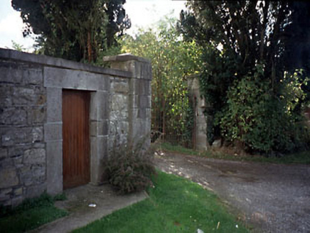 Blackcastle HouseGates/railings/walls · 1.3 mi
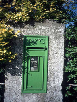 post box1.3 mi
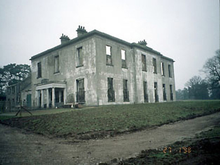 Blackcastle HouseHouse · 1.4 mi
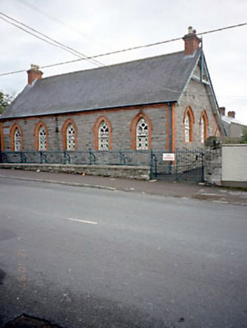 Flower Hill National SchoolSchool · 1.4 mi
 European Yew3.8 miEuropean Yew4.0 mi
 MonasteryEcclesiastical residence · 5.5 mi
Pictures: Aubrey Martin, Wikimedia Commons · CC BY-SA 4.0; Albert Bridge, Geograph · CC BY-SA 2.0; Mike Searle, Geograph · CC BY-SA 2.0; Internet Archive Book Images, Wikimedia Commons · No restrictions; National Inventory of Architectural Heritage; Sitomon, Wikimedia Commons · CC BY-SA 2.0; Dieglop, Wikimedia Commons · CC BY-SA 4.0
More historic places in County Meath · All of County Meath
What do you know about this place?