
What is recorded here
Situated on a bluff (H c. 20m at S) overlooking a weir on a W-E section of the River Boyne which is c. 100m to the S and c. 20m lower. This could be an early castle but its history is obscure. It withstood a siege by rebels in 1641 until Captain Power, its commander, was persuaded to surrender. According to the Civil Survey (1654-6) Thomas Darcy owned the entire parish consisting of 395 acres in 1640, and on the premises there was ‘a Castle, a Church, a Mill, an Orchard and a fishing weare’ (Simington 1940, 322). The D’Arcy family appears to have retained the castle in the Cromwellian settlement and rebuilt it in the reign of James II (1685-89). A drawing from 1795 by Francis Grose (1795, 82-3) shows it an occupied rectangular structure but it is said to have been burned in the rising of 1798 when the north half of it collapsed (Wilde 1849, 166-9). This is a large rectangular structure (dims c. 15m E-W; c. 10m N-S) with circular towers at the angles, but only those at SE and SW survive. The ground floor is buried but was vaulted and had a loft as well as well as two rows of long arrow-loops on the S wall which could indicated a thirteenth century date. There is a newel stairs in the SW tower which has a key-hole gun-loop. The first floor has large windows that are robbed. There is a two-storey gabled building with an oven at the ground floor attached to the E. The church (ME025-018001-) is immediately adjacent to the W. (Sweetman 1999, 99-100)
See the attached view from Grose (1795)
The above description is derived from the published 'Archaeological Inventory of County Meath' (Dublin: Stationery Office, 1987). 1791-5 The antiquities of Ireland. 2 vols London, S. Hooper
Wilde, W. R. W. 1849 (reprinted 1978) The Beauties of the Boyne and its tributary, the Blackwater. McGlashan, Dublin
Situated on a bluff (H c. 20m at S) overlooking a weir on a W-E section of the River Boyne which is c. 100m to the S and c. 20m lower. This could be an early castle but its history is obscure. It withstood a siege by rebels in 1641 until Captain Power, its commander, was persuaded to surrender. According to the Civil Survey (1654-6) Thomas Darcy owned the entire parish consisting of 395 acres in 1640, and on the…
From the National Monuments Service (Archaeological Survey of Ireland) record ME025-018002
The monument record does not grant public access. Check the route and ask the landowner before entering private land.
- What survives
- Recorded monument
Places near here
.jpg/250px-Picturesque_Ireland_-_a_literary_and_artistic_delineation_of_the_natural_scenery,_remarkable_places,_historical_antiquities,_public_buildings,_ancient_abbeys,_towers,_castles,_and_other_romantic_and_(14779127292).jpg "Photo: Internet Archive Book Images, Wikimedia Commons · No restrictions") Dunmoe CastleCastle · 7 yd
Dunmoe CastleCastle · 7 yd Bridge in Ferganstown and BallymaconBridge · 1223 yd
 Church (in Ruins)Church · 1.1 mi
 Round Tower1.1 mi
 Donaghmore Round TowerHeritage attraction · 1.1 mi
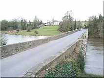 Broadboyne BridgeBridge · 1.3 mi
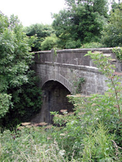 Thompson BridgeBridge · 1.3 mi
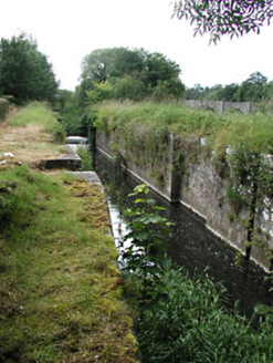 Stackallan LockLock · 1.3 mi
 Athlumney CastleCastle, tower house · 2.3 mi
 European Yew3.5 miEuropean Yew4.2 mi
 MonasteryEcclesiastical residence · 4.9 mi
Pictures: Internet Archive Book Images, Wikimedia Commons · No restrictions; Jamesfofo, Wikimedia Commons · CC BY-SA 4.0; Aubrey Martin, Wikimedia Commons · CC BY-SA 4.0; Albert Bridge, Geograph · CC BY-SA 2.0; JP, Geograph · Creative Commons Attribution-ShareAlike 2.0; National Inventory of Architectural Heritage; 瑞丽江的河水, Wikimedia Commons · CC BY-SA 4.0; Sitomon, Wikimedia Commons · CC BY-SA 2.0; Dieglop, Wikimedia Commons · CC BY-SA 4.0
More castles and forts in County Meath · All of County Meath
What do you know about this place?