
What is recorded here
In tillage. A roughly rectangular enclosure (dims. c. 50m NW-SE; c. 37m NE-SW), defined by a fosse, identified as a cropmark on Google Earth Pro imagery (imagery date 14 July 2018) by Jean-Charles Caillère and Simon Dowling. There is an outer fosse c. 7m from the inner fosse. The outer edge of the NE quadrant of the enclosure is slightly truncated by a field boundary running NW-SE. A cropmark of a field boundary running for c. 110m south-eastward from the SE angle of the monument may be contemporary. Another cropmark of a field boundary running for c. 70m WSW of the enclosure is possibly later as it appears to continue between the two fosses in the SW quadrant.
See attached photograph:
KK029-044----_01 Image ©2019 CNEW/Airbus: Google Earth Pro satellite imagery (14 July 2018)
Compiled by: Jean Farrelly
Date of upload: 6 January 2020
A local fairy fort (ringfort/rath); wider significance not recorded.
The monument record does not grant public access. Check the route and ask the landowner before entering private land.
- What survives
- Recorded monument
Places near here
 CastleCastle, motte · 874 yd
 ToberelleenHoly well · 1405 yd
 IndicatedEnclosure · 1468 yd
 Barleagh WoodForest · 1.1 mi
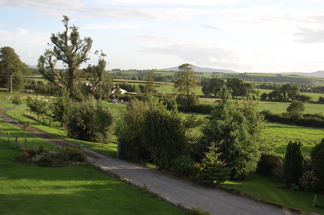 CroghanMountain / peak · 1.2 mi
 Coolroe Househouse · 1.3 mi
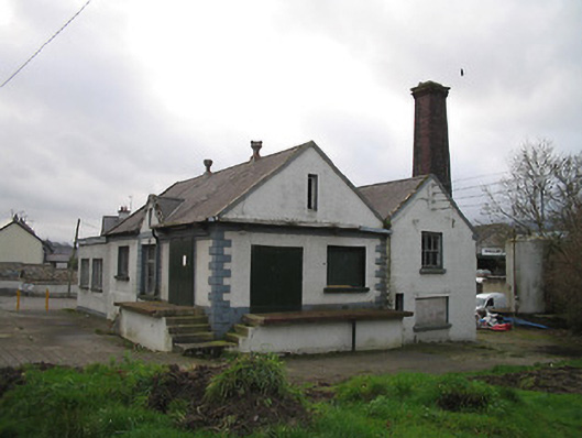 Graiguenamanagh Creamerycreamery · 1.7 mi
 The PoundMemorial · 1.7 mi
 Keating's WellSpring · 1.8 mi
 Monastic MillsMemorial · 1.8 mi
 Tinahinch Castle (in Ruins)Castle, tower house · 2.0 mi
 The Burrow FieldForest · 2.2 mi
Other information
Photo: Credit not shown in the picture search · Rights wording not checked; contact us if this picture should be removed