What is recorded here
On the brow of a S-facing slope with good views from SE-S-W. Indicated on the 1st (1839) ed. OS 6-inch map as a rectangular church, orientated E-W, roughly centrally placed within a graveyard (KK029-005002-).
The church is heavily overgrown but appears to be largely reduced to rubble, with only the W end of the N wall discernible as collapsed masonry. The S wall, along with the E and W gables, are no longer upstanding. At the N end of the graveyard loose masonry, possibly from the church, has been placed against the boundary wall, including a possible cut sandstone sill or jamb stone (KK29-005003-).
Compiled by: Jean Farrelly
Date of upload: 7 March 2022
The monument record does not grant public access. Check the route and ask the landowner before entering private land.
- What survives
- Recorded monument
Places near here
 CastleCastle, motte · 509 yd
 Enclosure in OldgrangeEnclosure · 636 yd
 IndicatedEnclosure · 1012 yd
 Coolroe Househouse · 1.0 mi
 Barleagh WoodForest · 1.2 mi
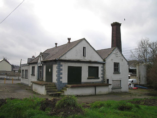 Graiguenamanagh Creamerycreamery · 1.3 mi
 The PoundMemorial · 1.4 mi
 Keating's WellSpring · 1.4 mi
 Monastic MillsMemorial · 1.5 mi
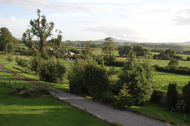 CroghanMountain / peak · 1.6 mi
 Tinahinch Castle (in Ruins)Castle, tower house · 1.6 mi
 The Burrow FieldForest · 2.2 mi