
What is recorded here
Indicated on the 1st (1839) ed. OS 6-inch map as a circular enclosure (diam. c. 30m) and on the 1900-01 revision as a subcircular area defined by short straight lengths. A public road runs NW-SE along the outer edge of the NNE sector. A circular area (int. diam. 24m) enclosed by an earth and stone bank (Wth 3m; H 1-1.2m). There was no visible entrance at time of inspection in 1989. The monument is quite heavily overgrown with scrub and trees.
Compiled by: Jean Farrelly
Date of upload: 7 March 2022
The monument record does not grant public access. Check the route and ask the landowner before entering private land.
- What survives
- Recorded monument
Places near here
 CastleCastle, motte · 595 yd
 Coolroe Househouse · 842 yd
 Enclosure in OldgrangeEnclosure · 1469 yd
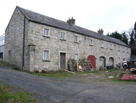 outbuildingoutbuilding · 1645 yd
 Barleagh WoodForest · 1714 yd
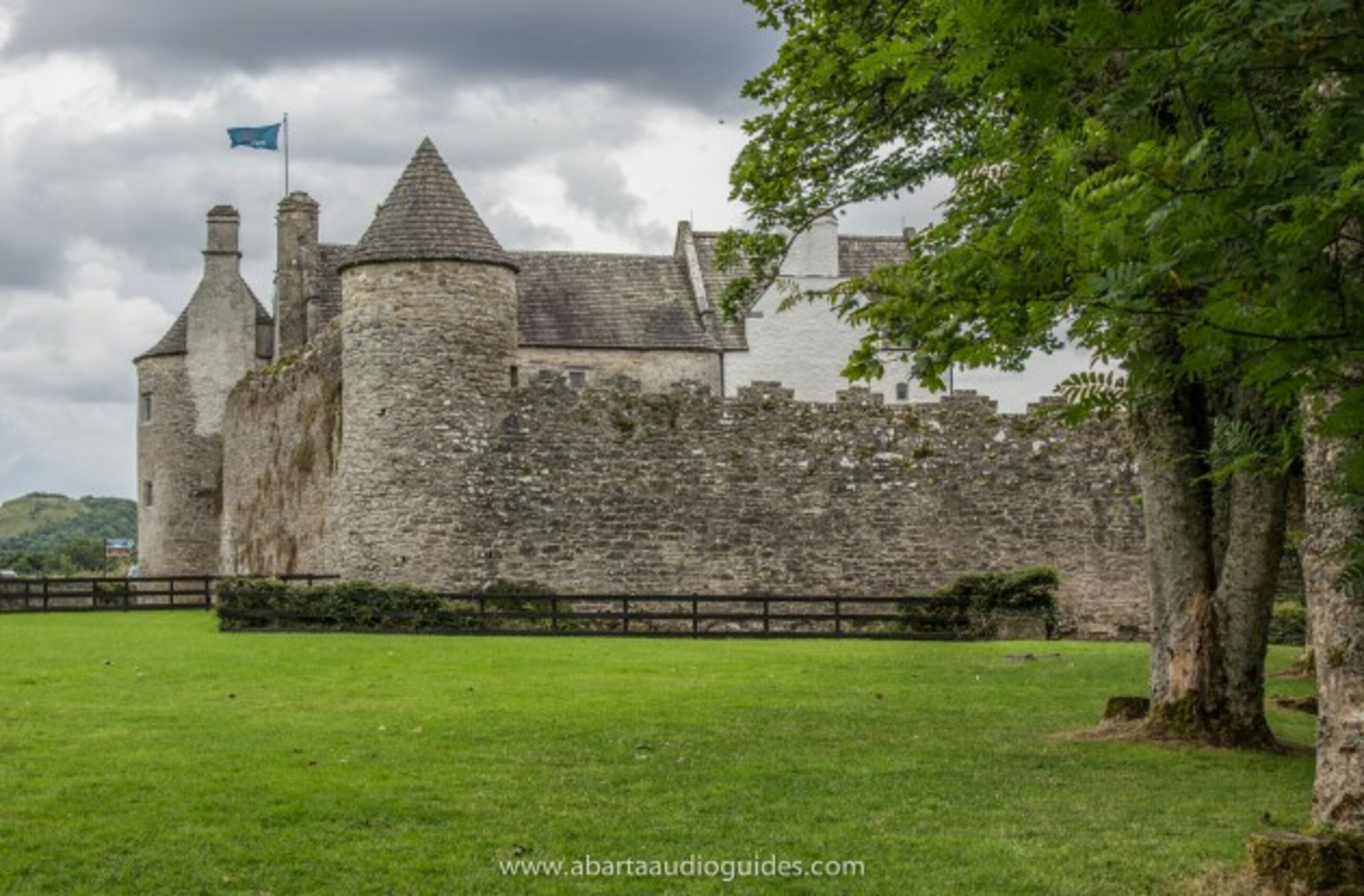 Carrigeen FortFairy fort / earthen ringfort · 1.0 mi
 The PoundMemorial · 1.1 mi
 Monastic MillsMemorial · 1.1 mi
 Keating's WellSpring · 1.1 mi
 Tinahinch Castle (in Ruins)Castle, tower house · 1.2 mi
 Freney's WellSpring · 1.7 mi
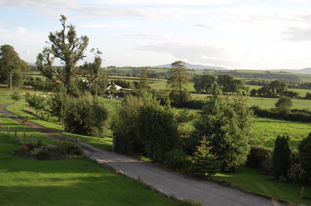 CroghanMountain / peak · 1.9 mi
Other information
Photo: Credit not shown in the picture search · Rights wording not checked; contact us if this picture should be removed