What is recorded here
On SE-facing slope, c. 40m of the Aghclare river with excellent views to NE-E but elsewhere obstructed by surrounding hills. A bowl-shaped mound defined by a high, steep-sided scarp and fosse around the base. The mound and fosse were heavily overgrown with gorse and brambles at time of inspection in 1994, which prevented measurements being taken. See attached photographs:
KK029-006----_01 From E, 9 November 1994
KK029-006----_02 From SE, 9 November 1994
Compiled by: Jean Farrelly
Date of upload: 7 March 2022
From the National Monuments Service (Archaeological Survey of Ireland) record KK029-006
The monument record does not grant public access. Check the route and ask the landowner before entering private land.
- What survives
- Recorded monument
Places near here
 Coolroe HouseHouse · 1437 yd
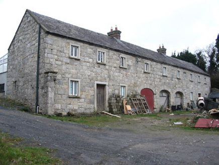 worker's house1.2 mi
 The PoundMemorial · 1.3 mi
 Keating's WellSpring · 1.4 mi
 Monastic MillsMemorial · 1.4 mi
 Ladys WellHoly well · 1.4 mi
_-_geograph.org.uk_-_4571734.jpg/250px-Duiske_Abbey,_Graiguenamanagh,_Kilkenny_(1)_-_geograph.org.uk_-_4571734.jpg "Photo: Mike Searle, Wikimedia Commons · CC BY-SA 2.0") TombTomb, effigial · 1.5 mi
TombTomb, effigial · 1.5 mi Tinahinch Castle (in Ruins)Castle, tower house · 1.5 mi
 CroghanMountain / peak · 1.6 mi
 Freney's WellSpring · 2.0 mi
 Brandon HillMountain / peak · 2.7 mi
 The Barrow WayVisitor information · 3.1 mi
Pictures: National Inventory of Architectural Heritage; A.-K. D., Wikimedia Commons · CC BY-SA 4.0; A.-K. D., Wikimedia Commons · CC0; Mike Searle, Wikimedia Commons · CC BY-SA 2.0; Humphrey Bolton, Wikimedia Commons · CC BY-SA 2.0; Alex Passmore, Geograph · CC BY-SA 2.0; kevin higgins, Geograph · CC BY-SA 2.0; Sarah777, Wikimedia Commons · Public domain; Colin Park, Geograph · CC BY-SA 2.0
More castles and forts in County Kilkenny · All of County Kilkenny
What do you know about this place?