
What is recorded here
On a hill slope, on the W side of a millrace where it joins the Douske River, N of Mill Road (formerly the northern High Street), and to the rear of Cushendale Mills. The well is much silted up, though there is still a flow of water from it into the adjacent millrace (Farrelly et al. 1993, vol. 1, 156). The spring is just visible under a stone lintel (L 1.2m; T 0.23m) and is delineated by a low semi-circular wall (H c. 0.6m; Wth 0.2m) of stone and concrete (ibid.). See attached photograph:
KK029-018007-_01
Compiled by: Jean Farrelly
Date of upload: 16 March 2022
On a hill slope, on the W side of a millrace where it joins the Douske River, N of Mill Road (formerly the northern High Street), and to the rear of Cushendale Mills. The well is much silted up, though there is still a flow of water from it into the adjacent millrace (Farrelly et al. 1993, vol. 1, 156). The spring is just visible under a stone lintel (L 1.2m; T 0.23m) and is delineated by a low semi-circular wall…
From the National Monuments Service (Archaeological Survey of Ireland) record KK029-018007
The monument record does not grant public access. Check the route and ask the landowner before entering private land.
- What survives
- Recorded monument
Places near here
 IndicatedClapper bridge · 12 yd
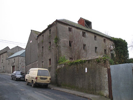 store/warehouse30 yd
 Monastic MillsMemorial · 63 yd
 Assembly RoomsMemorial · 68 yd
 Keating's WellSpring · 98 yd
_-_geograph.org.uk_-_4571734.jpg/250px-Duiske_Abbey,_Graiguenamanagh,_Kilkenny_(1)_-_geograph.org.uk_-_4571734.jpg "Photo: Mike Searle, Wikimedia Commons · CC BY-SA 2.0") TombTomb, effigial · 129 yd
TombTomb, effigial · 129 yd Cross in GraiguenamanaghCross · 154 yd
 Tinahinch Castle (in Ruins)Castle, tower house · 452 ydCastleCastle, motte · 1.4 miClashgannyWood · 1.5 mi
 Freney's WellSpring · 1.6 mi
 The Barrow WayVisitor information · 2.1 mi
Pictures: A.-K. D., Wikimedia Commons · CC BY-SA 4.0; National Inventory of Architectural Heritage; A.-K. D., Wikimedia Commons · CC0; Mike Searle, Wikimedia Commons · CC BY-SA 2.0; Humphrey Bolton, Wikimedia Commons · CC BY-SA 2.0; kevin higgins, Geograph · CC BY-SA 2.0; Colin Park, Geograph · CC BY-SA 2.0
More archaeology and monuments in County Kilkenny · All of County Kilkenny
What do you know about this place?