
What is recorded here
Large D-shaped enclosure (diam. c. 100m) visible on OSi 2005 ortho photograph (http://maps.osi.ie/publicviewer/#V1,704905,804014,6,5 (Accessed 12 April 2012)). Circular depression (diam. c. 30m) visible on orthophoto in W half possibly indicates part of Man-made underground passage (LH012-005002-) discovered in 1965 (Rynne, CLAJ 1964, 317-20).
Compiled by: Claire Breen
Date of upload: 13 April 2012
The monument record does not grant public access. Check the route and ask the landowner before entering private land.
- What survives
- Recorded monument
Places near here
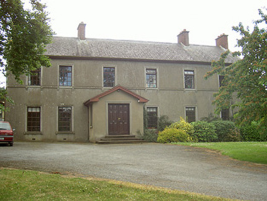 Mullaharlin Househouse · 185 yd
 Fulacht fia in CrumlinFulacht fia · 580 yd
 Man-made underground passage in CrumlinMan-made underground passage · 686 yd
 Saint Fursey's Catholic Churchchurch/chapel · 797 yd
 CastleCastle, unclassified · 1505 yd
 IndicatedCastle, unclassified · 1.0 mi
 BallybarrackMountain / peak · 1.2 mi
 Broad WoodForest · 1.6 mi
 Long WoodForest · 1.6 mi
 Photo GalleryHeritage attraction · 1.9 mi
 Dundalk CentralHeritage attraction · 2.0 mi
 Bombing 1975Memorial · 2.0 mi
Other information
Photo: Credit not shown in the picture search · Rights wording not checked; contact us if this picture should be removed