What is recorded here
Discovered during construction work relating to the Northern Motorway (Excavation Licence No. 98E0615). Orientated N-S and located on a high ridge overlooking the surrounding countryside. Composed of three features, a pit into which the cist stones were placed, the cist itself and a small horseshoe shaped cairn which was possibly the fill from the pit. The gap between the pit and the cist stones was filled with packing stones. The remains of one adult male dating to the Early Bronze Age was recovered from the cist. The stones, two of which had rock art inscriptions, are now in Dundalk County Museum (See LH007-138001- and LH007-138002-). (Lynch 2002, 215-16)
Reference:
Lynch, P. 2002 Crumlin 1. In I. Bennett (ed.), Excavations 2000: summary accounts of archaeological excavations in Ireland, 215-6 (No. 651). Bray. Wordwell.
Compiled by: Claire Breen
Date of upload: 01 December 2011
A small Neolithic cist tomb, likely dating to the Early to Middle Bronze Age, oriented north-south; its location on a high ridge suggests ritual or symbolic significance, though its wider archaeological context remains limited due to incomplete documentation.
The monument record does not grant public access. Check the route and ask the landowner before entering private land.
- What survives
- Recorded monument
Places near here
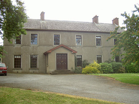 Mullaharlin Househouse · 166 yd
 Enclosure in MullagharlinEnclosure · 316 yd
 Man-made underground passage in CrumlinMan-made underground passage · 448 yd
 Dundalk Institute of Technologyfactory · 1067 yd
 CastleCastle, unclassified · 1.0 mi
 BallybarrackMountain / peak · 1.1 mi
 IndicatedCastle, unclassified · 1.2 mi
 Broad WoodForest · 1.7 mi
 Photo GalleryHeritage attraction · 1.8 mi
 Long WoodForest · 1.8 mi
 Dundalk CentralHeritage attraction · 1.8 mi
 Bombing 1975Memorial · 1.9 mi