What is recorded here
Knockroe holds a hidden chamber beside its main fort, cut into the hill and closed by a low earthen bank. The chamber is not large, but its shape is deliberate: a narrow entrance, a sloping floor, a flat platform, and a wall close enough to touch. That suggests exclusion rather than accident. The main fort faced the sea and could be seen from a distance. This smaller enclosure faced the land, stayed shadowed, and waited for someone who already knew the place.
On WNW berm of cliff-edge fort (LI023-019----). Sub-circular area (10m NE-SW; 8m NW-SE) adjoining exterior of inner bank to E, cut into hill-slope SSE-SSW and defined by low earthen bank (Wth 5m; int. H 0.3m; ext. H 0.45m) SW-NE. Possible entrance (Wth 2m) at ENE. Interior has a N-facing slope. Square platform (dims. 6m NNE-SSW; 5m ESE-WNW) adjoins to S at a slightly higher level and also adjoins the cliff-edge fort to W.
Compiled by: Denis Power
Date of upload: 26 November 2013
The monument record does not grant public access. Check the route and ask the landowner before entering private land.
- What survives
- Recorded monument
Places near here
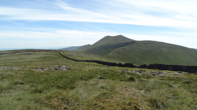 Field system in Knockroe (mason)Field system · 188 yd
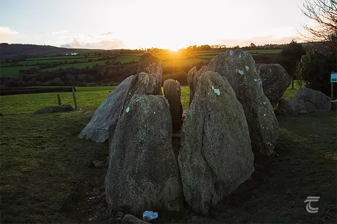 Enclosure in Knockroe (mason)Enclosure · 298 yd
 RoadRoad, road/trackway · 341 yd
 CastleCastle, unclassified · 525 yd
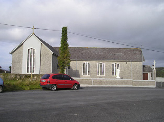 Saint Ailbe's Catholic Churchchurch/chapel · 1417 yd
 St Lawrence's WellSpring · 1469 yd
 Bawn in Ludden MoreBawn · 1625 yd
 Wych ElmWych Elm · 1.1 mi
 Banoge's WellSpring · 2.6 mi
 Grange Stone CircleArchaeological place · 4.6 mi
 Graveyard in AbingtonGraveyard · 5.2 mi
 Kilteely HillMountain / peak · 6.1 mi