What is recorded here
In elevated pasture, on a S-facing slope. Complex of eight adjoining enclosures that constitute a field system. Field 1 (8m N-S; 6m E-W) adjoins natural rock outcrop to E, field 2 to S and field 5 to W). Field 2 (15m N-S; 11m E-W) adjoins natural rock outcrop to E, field 1 to N, abuts field 3 to SW and adjoins field 5 to W. Field 3 (22m NNW-SSE; 20m ENE-WSW) adjoins fields 5 and 6 to N and NW respectively; field 4 (13m NE-SW; 8m NW-S) is within SE-quadrant. Field 5 (25m N-S; 22m E-W) adjoins fields 1, 2, 3 and 6 to E, SE, S and W respectively. Field 6 (39m NNW-SSE; 26m ENE-WSW) adjoins fields 3 and 5 to SE and E respectively and is the largest field; lazybeds within and sheer slope to W. Field 7 (11m N-S; 6m E-W) abuts fields 3 and 6 to E and N respectively; adjoins field 8 to S and natural rock outcrop to E. Field 8 (9m N-S; 8m E-W) adjoins field 7 to N and adjoins natural rock outcrop to E. All fields are defined by low earthen banks (Wth 4.05m; int. H 0.45m; ext. H 0.5m) and in some cases utilise natural rock outcrop to form one side (e.g. E-sides of fields 1, 2, 7 and 8). There is a sheer fall of ground immediate W of this area.
In elevated pasture, on a S-facing slope. Complex of eight adjoining enclosures that constitute a field system. Field 1 (8m N-S; 6m E-W) adjoins natural rock outcrop to E, field 2 to S and field 5 to W). Field 2 (15m N-S; 11m E-W) adjoins natural rock outcrop to E, field 1 to N, abuts field 3 to SW and adjoins field 5 to W. Field 3 (22m NNW-SSE; 20m ENE-WSW) adjoins fields 5 and 6 to N and NW respectively; field…
From the National Monuments Service (Archaeological Survey of Ireland) record LI023-314
The monument record does not grant public access. Check the route and ask the landowner before entering private land.
- What survives
- Recorded monument
Places near here
Photo credits
- National Inventory of Architectural Heritage
- Ronnie Nijboer, Wikimedia Commons · CC0
- Garry Dickinson, Geograph · CC BY-SA 2.0
- Ruhrfisch, Wikimedia Commons · CC BY-SA 4.0
- Ballyhoura Failte, Wikimedia Commons · CC BY-SA 2.0
Enclosure in Knockroe (mason)Enclosure · 165 ydCastleCastle, unclassified · 399 ydSt Lawrence's WellSpring · 1301 yd Saint Ailbe's Catholic ChurchChurch/chapel · 1598 ydpost box1659 ydWych Elm1.1 miBallymacreese HouseHouse · 1.7 miBrookvilleRic barracks · 1.7 miBanoge's WellSpring · 2.7 miCastleCastle, motte and bailey · 4.3 miGrange Stone CircleArchaeological place · 4.7 miGiants GraveMegalithic tomb · 5.0 mi
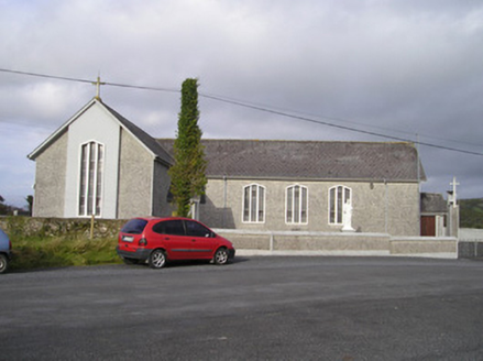 Saint Ailbe's Catholic ChurchChurch/chapel · 1598 yd
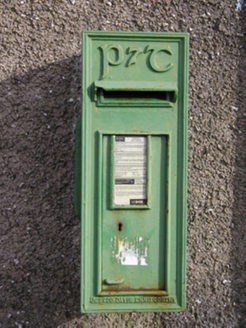 post box1659 yd
 Wych Elm1.1 mi
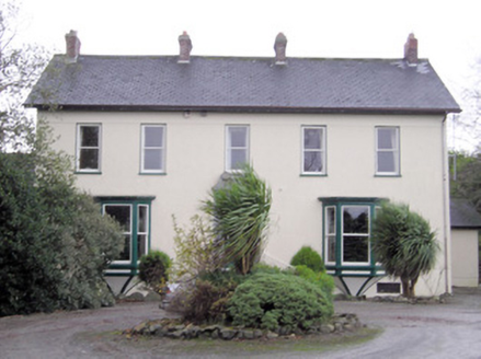 Ballymacreese HouseHouse · 1.7 mi
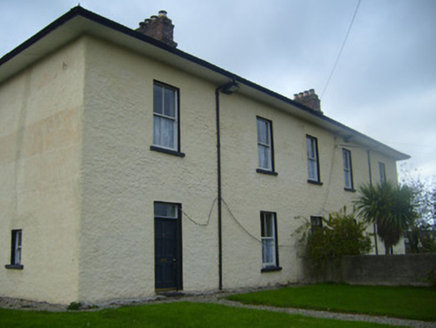 BrookvilleRic barracks · 1.7 miBanoge's WellSpring · 2.7 mi
 CastleCastle, motte and bailey · 4.3 mi
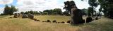 Grange Stone CircleArchaeological place · 4.7 mi
 Giants GraveMegalithic tomb · 5.0 mi
More archaeology and monuments in County Limerick · All of County Limerick
What do you know about this place?