
What is recorded here
Knockroe is a castle that refuses to exist, perched at 672 feet on a bare rock outcrop where panoramic views stretch unbroken in every direction. Westropp walked that summit in 1906, found only fallen rubble named Shancuirt, and admitted he could not certify a single wall. The wooden Holy Year cross now stands beside a concrete trig point, marking a place where human ambition kept colliding with empty sky.
On summit of hill, in area of natural rock outcrop, at spot height (672 ft); panoramic views in all directions. No visible surface trace of any archaeological features in this location. Trigonometric station now to NE, may have been moved from rock outcrop to immediate NW as concrete base in-situ there. Wooden Holy Year cross mounted on concrete platform with plaque on NE-side. According to OS Name Books (Westropp 1906-7, 92) on the summit of this hill 'a mound of fallen rubble was called "Shancuirt" ' but Westropp could 'find no certain records' (ibid.) of a castle here. It is possible that the site referred to is the nearby enclosure LI023-020----.
Compiled by: Denis Power
Date of upload: 25 November 2013
The monument record does not grant public access. Check the route and ask the landowner before entering private land.
- What survives
- Recorded monument
Places near here
 RoadRoad, road/trackway · 214 yd
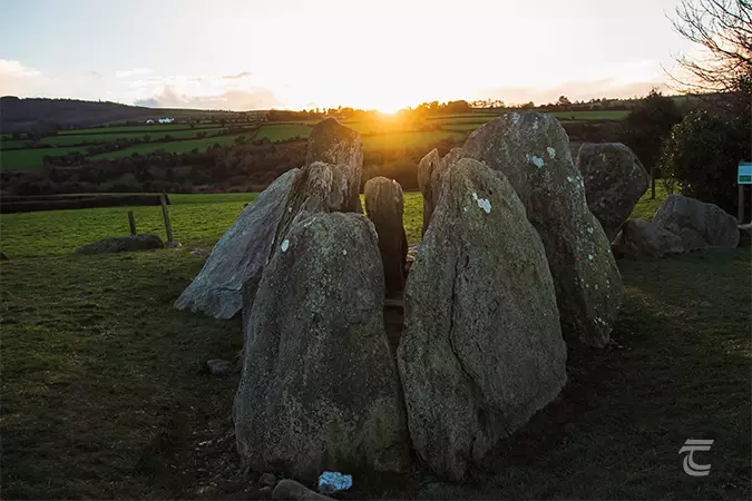 Enclosure in Knockroe (mason)Enclosure · 236 yd
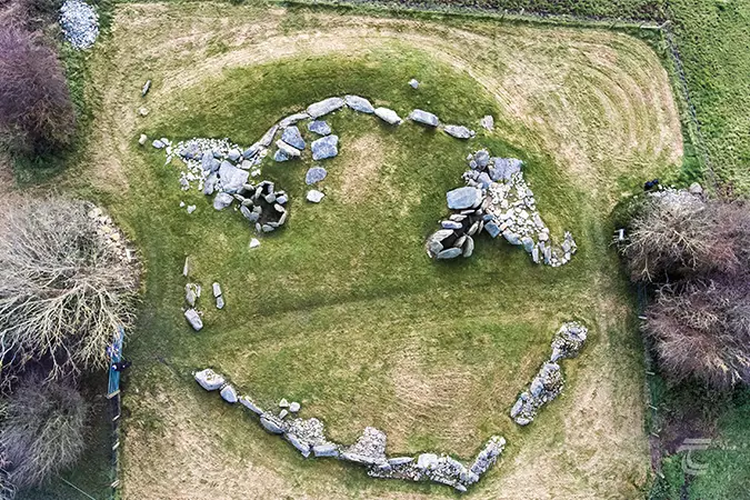 Enclosure in Knockroe (clanwilliam By.)Enclosure · 317 yd
 St Lawrence's WellSpring · 1329 yd
 Church (in ruins)Church · 1342 yd
 Ballybricken Court (in ruins)Castle, tower house · 1.1 mi
 Caherconlish Ho.Castle, tower house · 1.2 mi
 Wych ElmWych Elm · 1.2 mi
 Graveyard in AbingtonGraveyard · 5.0 mi
 St. Patrick's WellSpring · 5.7 mi
 Kilteely HillMountain / peak · 5.9 mi
 KnockseefinMountain / peak · 6.0 mi
Other information
Photo: Credit not shown in the picture search · Rights wording not checked; contact us if this picture should be removed