
What is recorded here
On Knockroe Hill in rough hillside pasture, with panoramic views to the NW, W and SW. The site is 20m N of the enclosure (LI023-020----) on the W edge of steep break in slope close to the summit of the hill. Knockroe Hill and the hillside terraces around it (N, W and SW) are densely occupied with forts (LI023-019----) 280m to SW and a variety of circular (LI023-263-/262/314) 170m to E, 140m to N and 130m to E. The site is not depicted on the OSi 1840 ed. 6-inch and 1897 ed. 25-inch map. It is visible on Digital Globe orthophotos taken 2011-2013. Identified on the Bruff aerial photographic survey in 1986 (Bruff 26804: AP 4/3742) as a linear earthwork orientated E-W (ext. dims. 10m N-S; 50m E-W). Visible on Digital Google Earth orthoimage taken 28/06/2018. The feature may be a rock cut path from the E terrace below the enclosure (LI023-020----) on the summit of the hill.
See attached Bruff survey image labelled Bruff 26804 and Google Earth orthoimage
Compiled by: Edmond O’Donovan
Date of upload: 3 September 2020
The monument record does not grant public access. Check the route and ask the landowner before entering private land.
- What survives
- Recorded monument
Places near here
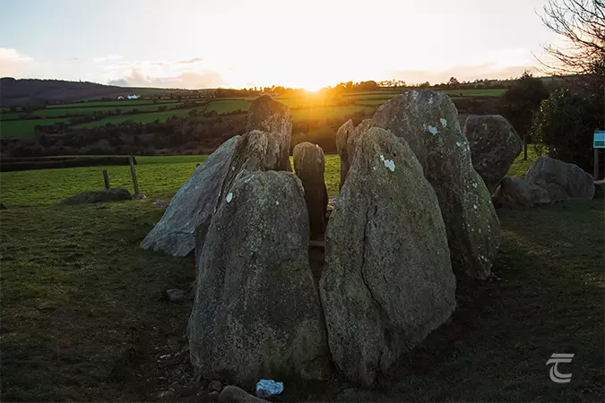 Enclosure in Knockroe (mason)Enclosure · 51 yd
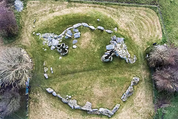 Enclosure in Knockroe (clanwilliam By.)Enclosure · 175 yd
 CastleCastle, unclassified · 214 yd
 St Lawrence's WellSpring · 1274 yd
 Church (in ruins)Church · 1289 yd
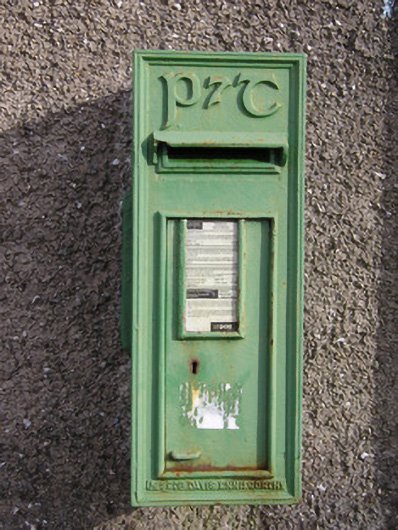 post boxpost box · 1675 yd
 Bawn in Ludden MoreBawn · 1.1 mi
 Wych ElmWych Elm · 1.1 mi
 Banoge's WellSpring · 2.7 mi
 Grange Stone CircleArchaeological place · 4.8 mi
 Graveyard in AbingtonGraveyard · 5.1 mi
 Kilteely HillMountain / peak · 6.0 mi
Other information
Photo: Credit not shown in the picture search · Rights wording not checked; contact us if this picture should be removed