
What is recorded here
In pasture, on top of knoll, enclosing remains of castle (LI023-006----). Sub-rectangular area (24.5m N-S; 12.5m E-W) defined by earth-and-stone scarped edge (Wth 4m; H 1.0m) on N, E and S sides and by field boundary on W side. Castle (LI023-006----) in SW-corner and remains of its sod covered wall form W-end of S-scarp.
Compiled by: Denis Power
Date of upload: 26 November 2013
A local castle; wider significance not recorded.
The monument record does not grant public access. Check the route and ask the landowner before entering private land.
- What survives
- Recorded monument
Places near here
 Boherboulinae (track of)Road, road/trackway · 192 yd
 BrufeaArchaeological place · 1079 yd
 Ludden Church (in ruins)Church · 1450 yd
 Wych ElmWych Elm · 1671 yd
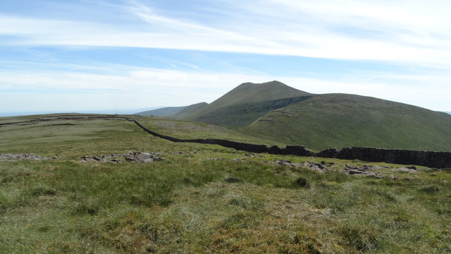 Field system in Knockroe (mason)Field system · 1709 yd
 CastleCastle, unclassified · 1.2 mi
 St Lawrence's WellSpring · 1.2 mi
 Greenan CastleCastle · 1.3 mi
 ToberauillinSpring · 1.9 mi
 Skool HillMountain / peak · 2.2 mi
 Grange Stone CircleArchaeological place · 4.7 mi
 Graveyard in AbingtonGraveyard · 5.7 mi
Other information
Photo: Credit not shown in the picture search · Rights wording not checked; contact us if this picture should be removed