
Places near here
Photo credits
- Ronnie Nijboer, Wikimedia Commons · CC0
- National Inventory of Architectural Heritage
- Golfing in Ireland; photographer not stated, Source publisher
- Mike Searle, Wikimedia Commons · CC BY-SA 2.0
- Liam, Geograph · CC BY-SA 2.0
- No machine-readable author provided. Christian1965~commonswiki assumed (based on copyright claims)., Wikimedia Commons · Public domain
- Kildimo/Pallaskenry GAA club fundraising page / SmartLotto; individual photographer not named, smartlotto.ie
- Jackieray at English Wikipedia, Wikimedia Commons · Public domain
 Wych Elm1736 yd
Explorer Tom Wych Elm in County Limerick is in a serious feud with the rain because it keeps getting wet on purpose. It thinks the…
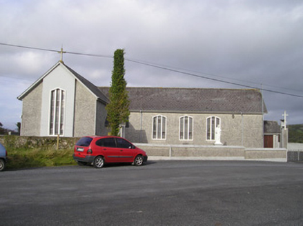 Saint Ailbe's Catholic ChurchChurch/chapel · 1.0 mi
Explorer Tom Saint Ailbe's Catholic Church has a bell from 1806 that’s older than most of its own congregation, which is a bit…
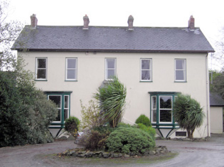 Ballymacreese HouseHouse · 1.0 mi
Explorer Tom Ballymacreese House is in a serious feud with the rain because its highly decorative limestone doorcase refuses to let…
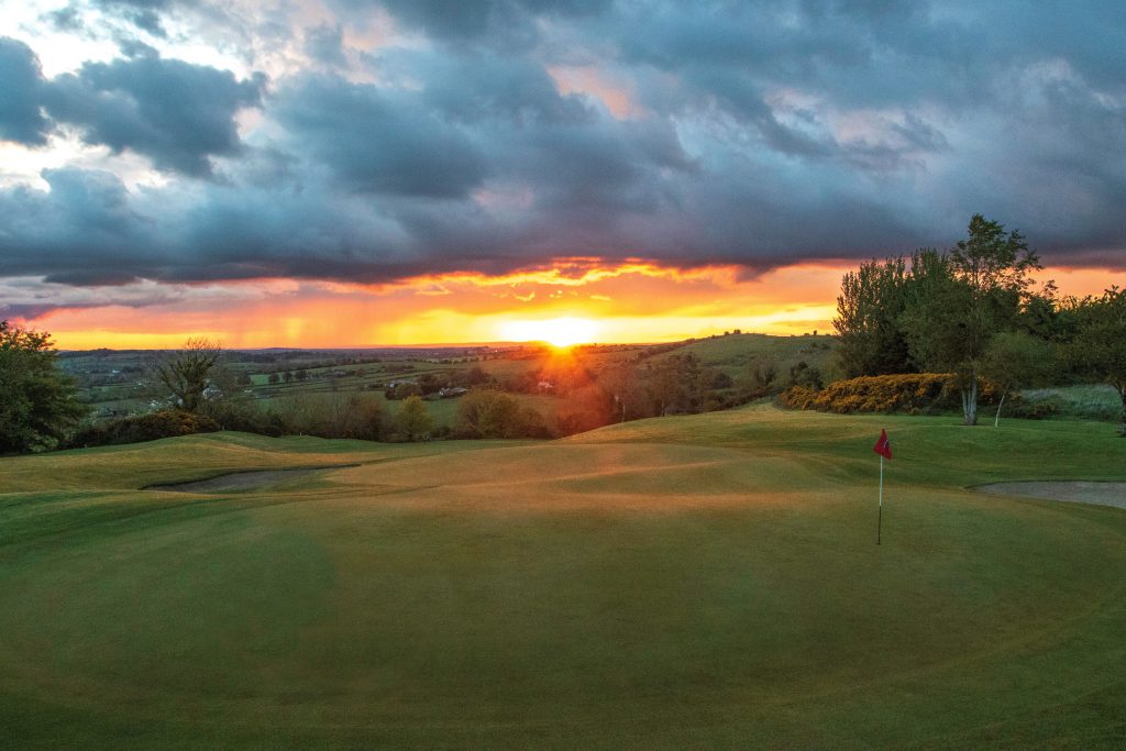 Ballyneety Golf ClubGolf course · 1.2 mi
 Rockstown Castle (in ruins)Castle, tower house · 1.5 mi
Explorer Tom Rockstown Castle is perched high like a proud peacock on its limestone rock. A cow once tried to buy it, but the price…
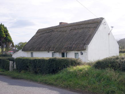 The ThatchHouse · 1.9 mi
Explorer Tom The Thatch in Loughanstown is a simple vernacular house with reed roofing that looks like it’s been sitting there…
 CastleCastle, tower house · 2.1 mi
Explorer Tom Castle in Carrigarreely would post a selfie of its perfect square shape with a filter that makes it look taller. It’s…
 post box3.3 mi
Explorer Tom Post box in Rockfarm is stuck in a fairy dispute over who gets to park their tin bycicles nearby. George V’s head is on…
 outbuilding3.4 mi
Explorer Tom Outbuilding in Ballyvorneen would order extra thick chips with vinegar at the chippy corner. It thinks its stone walls…
 Áine and Gearóid Iarla: Lough GurLegend location · 4.0 mi
Explorer Tom Áine and Gearóid Iarla: Lough Gur has a goddess for the lake and a sleeping lord in the old stories. I thought I was…
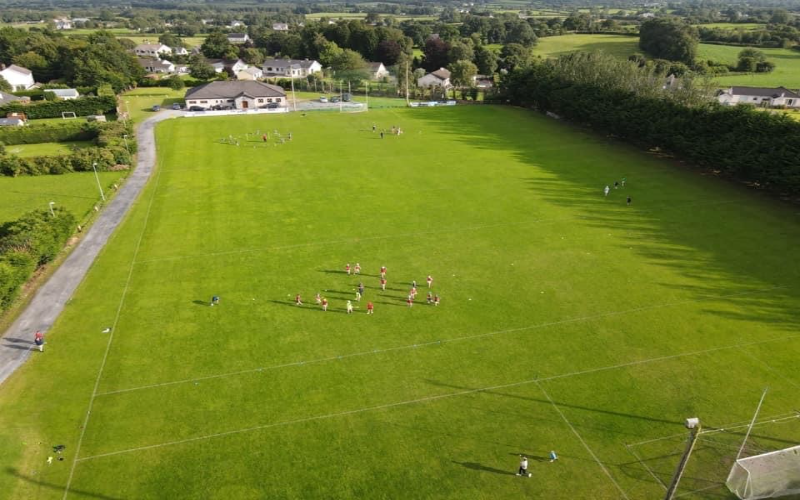 Kidimo GAA pitchGAA ground · 12 mi
 Killone AbbeyHeritage attraction · 25 mi
Explorer Tom This other Killone Abbey is having a serious drama with the nearest tree, claiming the roots are trying to steal its…
More archaeology and monuments in County Limerick · All of County Limerick

What do you know about this place?Tap to add a comment or ask a question