What is recorded here
In elevated pasture and rock outcrop. Sub-circular area (18m NNW-SSE; 16m ENE-WSW) enclosed by earthen bank (Wth 4.0m; int. H 0.5m; ext. H 0.85m) W-NE and by intermittent stone kerbing ESE-W; possible entrance at ENE. Intervening fosse (basal Wth 1.6m) N-NE. Substantial berm (Wth 17.2m) WSW-SE contains conjoined enclosure (LI023-313----) at WNW. Outer bank (Wth 6.2m; int. H 0.55m; ext. H 0.65m) NW-NNW and NE-ESE, is levelled NNW-N. Outer fosse (Wth 6.2m; D 0.8m) NE-ESE. No evidence of outer bank or fosse at SE. Interior has uneven surface; two regular holes recently dug within N-sector. Sheer drop to cliff edge on exterior of monument S-NW.
Compiled by: Denis Power
Date of upload: 31 October 2013
The monument record does not grant public access. Check the route and ask the landowner before entering private land.
- What survives
- Recorded monument
Places near here
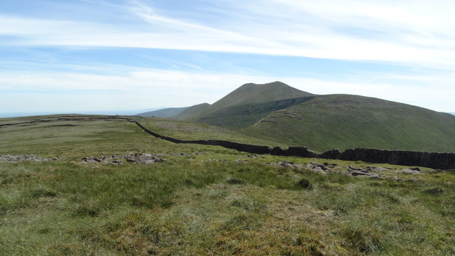 Field system in Knockroe (mason)Field system · 180 yd
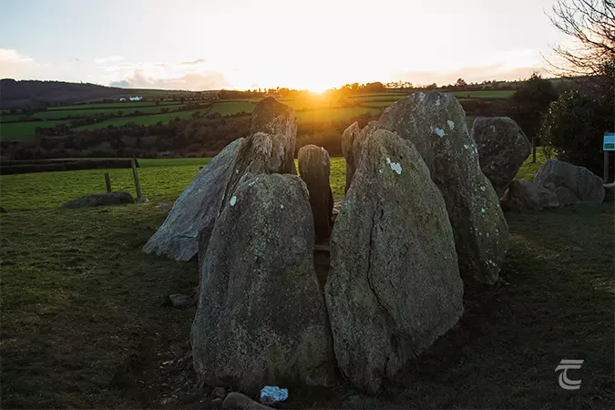 Enclosure in Knockroe (mason)Enclosure · 283 yd
 RoadRoad, road/trackway · 327 yd
 CastleCastle, unclassified · 508 yd
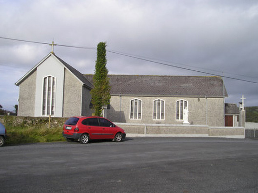 Saint Ailbe's Catholic Churchchurch/chapel · 1421 yd
 St Lawrence's WellSpring · 1468 yd
 Bawn in Ludden MoreBawn · 1643 yd
 Wych ElmWych Elm · 1.1 mi
 Banoge's WellSpring · 2.6 mi
 Grange Stone CircleArchaeological place · 4.6 mi
 Graveyard in AbingtonGraveyard · 5.2 mi
 Kilteely HillMountain / peak · 6.0 mi