
What is recorded here
On a gentle W-facing slope within the NW quadrant of an ecclesiastical enclosure (TS065-013001-) at Emly. A number of fosses, pits and metalled surfaces were uncovered during archaeological excavation prior to the construction of a housing development on the NW side of the village. A burial ground (TS065-013019-) was discovered c. 20-40m to the N and St Peter’s well (TS065-013005-) lies c. 40m to the NW. The earliest phase consists of a pair of substantial, probable curvilinear fosses which appear to be pre-13th-century A.D. in date. These were interpreted as ‘components of a single very large enclosing ditch’ (Henry 2003, 34). An entrance gateway (Wth 2.5m) was uncovered on its eastern side where there is a break in the V-shaped fosse (NW fosse Wth 1.45m; D 0.85m; SW fosse Wth 2.45m; D 0.76m) with two substantial post-holes on either side and a metalled surface between. (Henry 2003 Archaeological excavation at Emly, Co. Tipperary, unpublished report).
Compiled by: Jean Farrelly
Date of upload: 27 August 2012
A local fairy fort (ringfort/rath); wider significance not recorded.
The monument record does not grant public access. Check the route and ask the landowner before entering private land.
- What survives
- Recorded monument
Places near here
 St. Peters WellHoly well · 60 yd
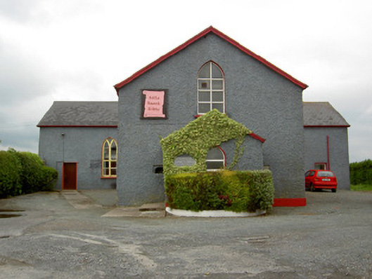 Halla Naomh Ailbhechurch/chapel · 85 yd
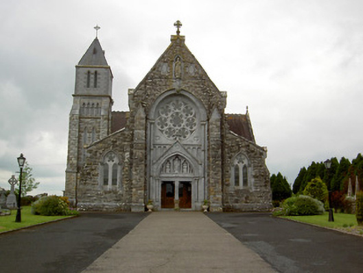 Saint Ailbe's Catholic Churchchurch/chapel · 131 yd
 Site of CathedralCathedral · 176 yd
 Glebe Ho.Castle, unclassified · 695 yd
 Carn (site of)Cairn, burial cairn · 2.0 mi
 CastleCastle, motte · 2.0 mi
 St Patrick's WellSpring · 3.2 mi
 Saint Patrick's WellSpring · 3.8 mi
 Flat cemetery in Knockainy WestFlat cemetery · 4.3 mi
 Kilteely HillMountain / peak · 4.4 mi
 Ballinvreena LoopVisitor information · 6.2 mi
Other information
Photo: Credit not shown in the picture search · Rights wording not checked; contact us if this picture should be removed