
What is recorded here
In grassland on a W-facing slope of rising ground located 250m NW of St. Aible's graveyard. This well is marked on the latest edition OS 6-inch map as 'site of', however, on inspection it would seem that the well is under a large rock. The rock is partly supported by smaller stones and water appears to be visible through a small gap in the stone. The well (D 0.7m; int. diam. 1.80m) itself appears to be enclosed by a circular dry-stone wall of which three courses are visible with a possible corbelled roof all of which is built with local sandstone rubble. The well appears to have been built at the base of a large rock outcrop of red sandstone (H 1.20m; L 4m; Wth 1.1m).
Compiled by: Jean Farrelly
Date of upload: 26 August 2011
Linked to St. Peter, the well is traditionally associated with healing and protection, with pilgrims historically visiting to seek cures for various ailments. The site's connection to early Christian tradition in the region is suggested by its proximity to St. Aible's graveyard, though specific folklore surrounding the well remains undocumented.
The monument record does not grant public access. Check the route and ask the landowner before entering private land.
- What survives
- Recorded monument
Places near here
 Enclosure in EmlyEnclosure · 60 yd
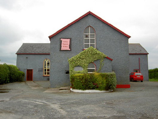 Halla Naomh Ailbhechurch/chapel · 102 yd
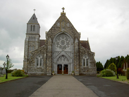 Saint Ailbe's Catholic Churchchurch/chapel · 191 yd
 Site of CathedralCathedral · 236 yd
 Glebe Ho.Castle, unclassified · 665 yd
 CastleCastle, motte · 2.0 mi
 Carn (site of)Cairn, burial cairn · 2.0 mi
 St Patrick's WellSpring · 3.2 mi
 Saint Patrick's WellSpring · 3.8 mi
 Flat cemetery in Knockainy WestFlat cemetery · 4.3 mi
 Kilteely HillMountain / peak · 4.3 mi
 Ballinvreena LoopVisitor information · 6.2 mi
Other information
Photo: Credit not shown in the picture search · Rights wording not checked; contact us if this picture should be removed