
What is recorded here
From the National Monuments Service (Archaeological Survey of Ireland) record KD032-084
Places near here
Photo credits
- Maker not stated on source page, www.pinterest.com
- National Inventory of Architectural Heritage
- Maker not stated on source page, commons.wikimedia.org
- Didier Descouens, Wikimedia Commons · CC BY-SA 4.0
- Maker not stated on source page, www.ancient-origins.net
- Maker not stated on source page, www.interment.net
- dougf, Geograph · CC BY-SA 2.0
- Maker not stated on source page, www.pinterest.ru
- Willow, Wikimedia Commons · CC BY 2.5
 Long StoneStanding stone · 971 yd
Explorer Tom Long Stone in Kilgowan got it wrong because the map makers were bad at math. It has a cross on it, so it's basically a…
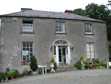 Calverstown HouseHouse · 1538 yd
Explorer Tom Calverstown House would tell you exactly how the Vikings got lost looking for it because they lacked GPS. It looks like…
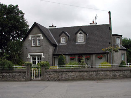 Grove VillaHouse · 1655 yd
Explorer Tom Grove Villa has very strong opinions that modern buildings are just boxes without personality or a proper loggia. It’s…
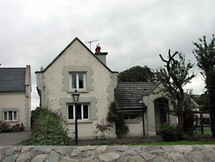 Calverstown CottageHouse · 1721 yd
Explorer Tom Calverstown Cottage is telling everyone there's a hidden tunnel straight to the pub, which is definitely not true. It’s…
 Cist in Halverstown (kilcullen Ed)Cist · 1.0 mi
Explorer Tom Cist in Halverstown had a prophecy that it would contain only gold, but instead we got a foetus and some teeth from a…
 Davidstown GraveyardGraveyard · 1.2 mi
Explorer Tom Davidstown Graveyard took approximately four hundred cups of tea to build, mostly because the workers kept stopping for…
 Hawthorn1.3 mi
Explorer Tom Hawthorn in County Kildare is having a massive falling out with the tree next door. It’s all about who gets the better…
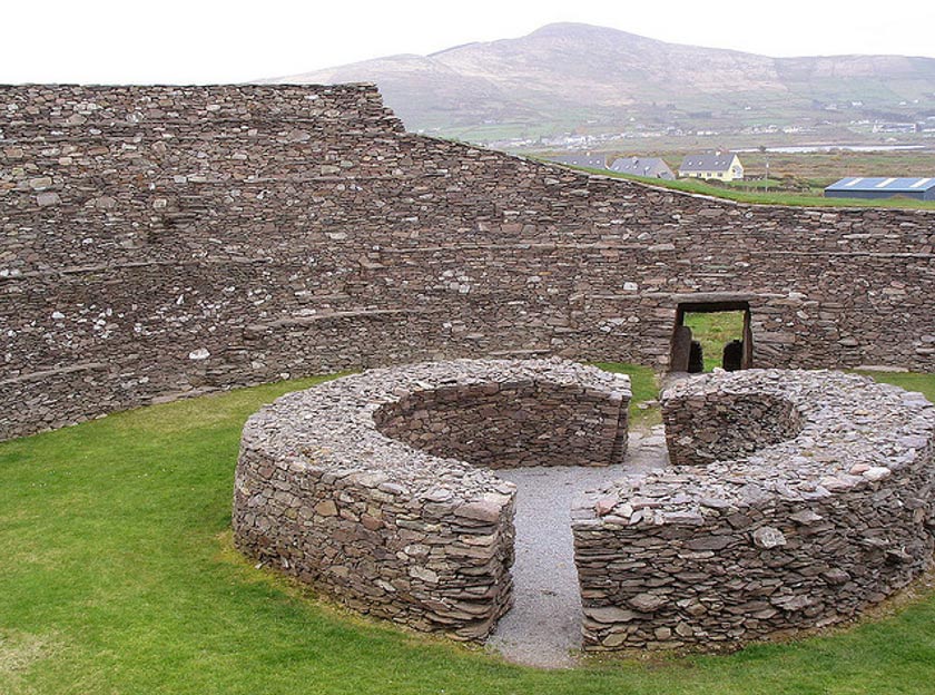 Fairy fort / ringfort in BallymountFairy fort / ringfort · 1.5 mi
Explorer Tom Fairy fort / ringfort in Ballymount has been feuding with the rain for centuries. Its ditch is basically a puddle that…
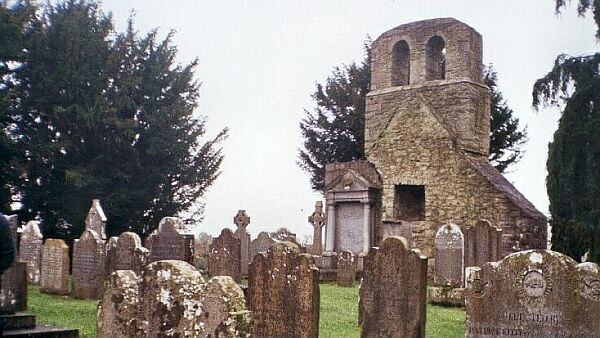 CemeteryGraveyard · 1.6 mi
Explorer Tom Cemetery in Moortown is an unenclosed graveyard where a priest lost a bet on whether the bank would hold or collapse.…
 Blackhall CastleCastle, tower house · 1.7 mi
Explorer Tom Blackhall Castle has a retirement plan involving becoming a very expensive garden shed for the farmyard. Half its tower…
 Castle ruinsRuins · 1.9 mi
Explorer Tom These anonymous castle ruins have a hidden message in the stones if you know how to read them, which I definitely…
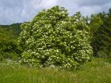 Elder4.0 mi
Explorer Tom An Elder tree almost got sold to a farmer for his horse, but he backed out when it refused to eat oats. It stands there…
More archaeology and monuments in County Kildare · All of County Kildare

What do you know about this place?Tap to add a comment or ask a question