What is recorded here
On a steep SE-facing slope overlooking Lebeen Lough. Not marked on the 1837 ed. of the OS 6-inch map. Depicted on the 1913 ed. as a hachured feature extending in an arc from NNE-S-SSW. A report in 1990 (SMR file) recorded a low bank of earth and stone with an external fosse extending from NE-E-SSE. These have since been levelled and all that survives is a steep scarp (H 0.8-1.4m). The rest of the monument is occupied by a modern dwelling-house and garden. Test excavations undertaken at the SE half of the enclosure in 2004 yielded no archaeological features or artifacts (Delaney 2007, 251). O'Donovan
Date of upload: 26 August 2011
On a steep SE-facing slope overlooking Lebeen Lough. Not marked on the 1837 ed. of the OS 6-inch map. Depicted on the 1913 ed. as a hachured feature extending in an arc from NNE-S-SSW. A report in 1990 (SMR file) recorded a low bank of earth and stone with an external fosse extending from NE-E-SSE. These have since been levelled and all that survives is a steep scarp (H 0.8-1.4m). The rest of the monument is…
From the National Monuments Service (Archaeological Survey of Ireland) record LF006-002
The monument record does not grant public access. Check the route and ask the landowner before entering private land.
- What survives
- Recorded monument
Places near here
Dermot & Grania's BedArchaeological place · 591 yd Saint Thomas's Church (Columbkille)Church/chapel · 742 ydbridge857 ydPortal tomb in AghnacliffPortal tomb · 1325 ydArnaghan SouthMountain / peak · 1.6 miMulrick WoodlandForest · 1.8 miArnaghan NorthMountain / peak · 2.1 miCastleBawn · 2.4 miWhite IslandIslet · 2.4 miCloone HouseCastle, unclassified · 2.6 mibattlefield4.4 miBattle of BallinamuckMajor battlefield · 4.6 mi
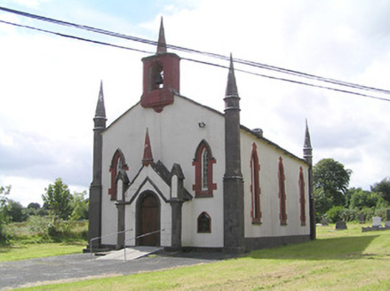 Saint Thomas's Church (Columbkille)Church/chapel · 742 yd
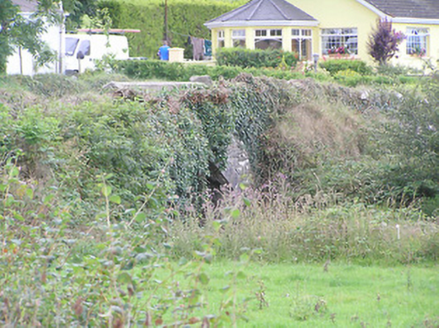 bridge857 yd
 Portal tomb in AghnacliffPortal tomb · 1325 ydArnaghan SouthMountain / peak · 1.6 miMulrick WoodlandForest · 1.8 miArnaghan NorthMountain / peak · 2.1 miCastleBawn · 2.4 miWhite IslandIslet · 2.4 miCloone HouseCastle, unclassified · 2.6 mi
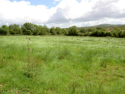 battlefield4.4 mi
 Battle of BallinamuckMajor battlefield · 4.6 mi
Pictures: National Inventory of Architectural Heritage; Wanfried-Dublin, Wikimedia Commons · CC BY-SA 4.0; Oliver Dixon, Wikimedia Commons · CC BY-SA 2.0
More archaeology and monuments in County Longford · All of County Longford
What do you know about this place?