What is recorded here
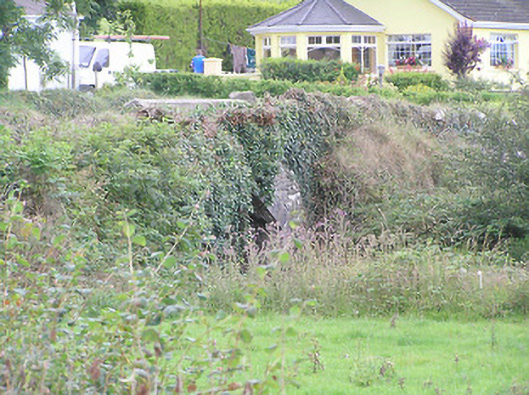
Bridge in Cleenrah crosses its stream at a slant, with carefully cut stones making the awkward angle work. The road and river refused to meet squarely, so a mason had to settle the row. Naturally, neither side has moved an inch since.
Single-arch road bridge over unnamed river/stream flowing into Lough Gowna, built c. 1790. Roughly dressed limestone spandrel walls, segmental-headed arch with cut limestone voussoirs. Squared rubble limestone abutments and barrel. Rubble stone parapet walls with rendered coping. Rubble stone wing walls continue to the north and south of parapet walls. Concrete weir to north of bridge feeds millrace of former corn mill (Blakely’s Mill) to the northeast. Located to the north of Aghnacliff.
This bridge is simple in form, having only one arch, emphasised by well cut voussoirs. The voussoirs provide textural contrast to the rubble stone walls, and are evidence of the skill of the stonemasons responsible. It survives in good condition, although there is some damage and alteration to the parapet walls. Visible from the approach road to the west, it provides architectural interest to the landscape. The bridge is skewed over the stream/river, which adds to its engineering and technical merit.
From the Buildings of Ireland (National Inventory of Architectural Heritage) record 13400305
This does not grant access. Most recorded buildings are privately owned; view them only from public ground unless the owner allows entry.
Places near here
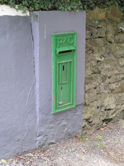 post box714 ydEnclosure in CleenrahEnclosure · 857 yd
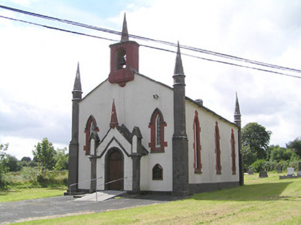 Saint Thomas's Church (Columbkille)Church/chapel · 1514 yd
 Portal tomb in AghnacliffPortal tomb · 1.2 miArnaghan SouthMountain / peak · 1.4 miMulrick WoodlandForest · 1.8 miArnaghan NorthMountain / peak · 1.8 miCastleBawn · 1.9 miWhite IslandIslet · 2.0 miCloone HouseCastle, unclassified · 2.5 mi
 battlefield4.4 mi
 Battle of BallinamuckMajor battlefield · 4.7 mi
Pictures: National Inventory of Architectural Heritage; Wanfried-Dublin, Wikimedia Commons · CC BY-SA 4.0; Oliver Dixon, Wikimedia Commons · CC BY-SA 2.0
More historic places in County Longford · All of County Longford
What do you know about this place?